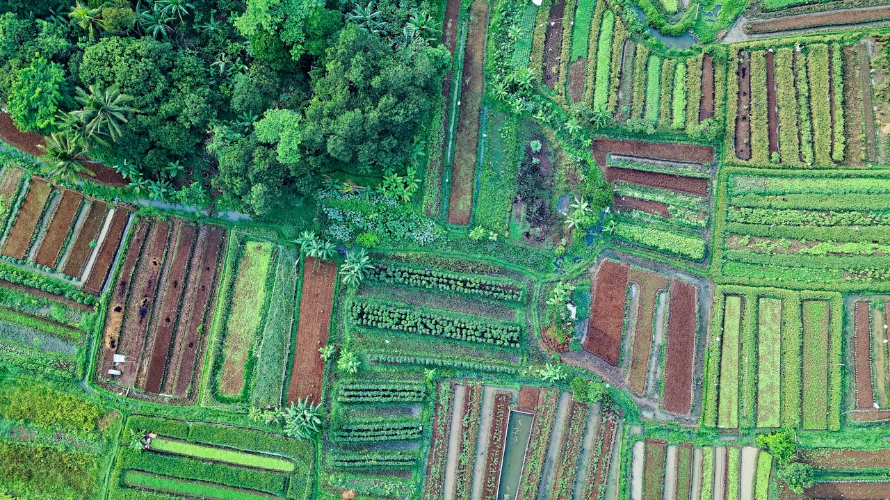
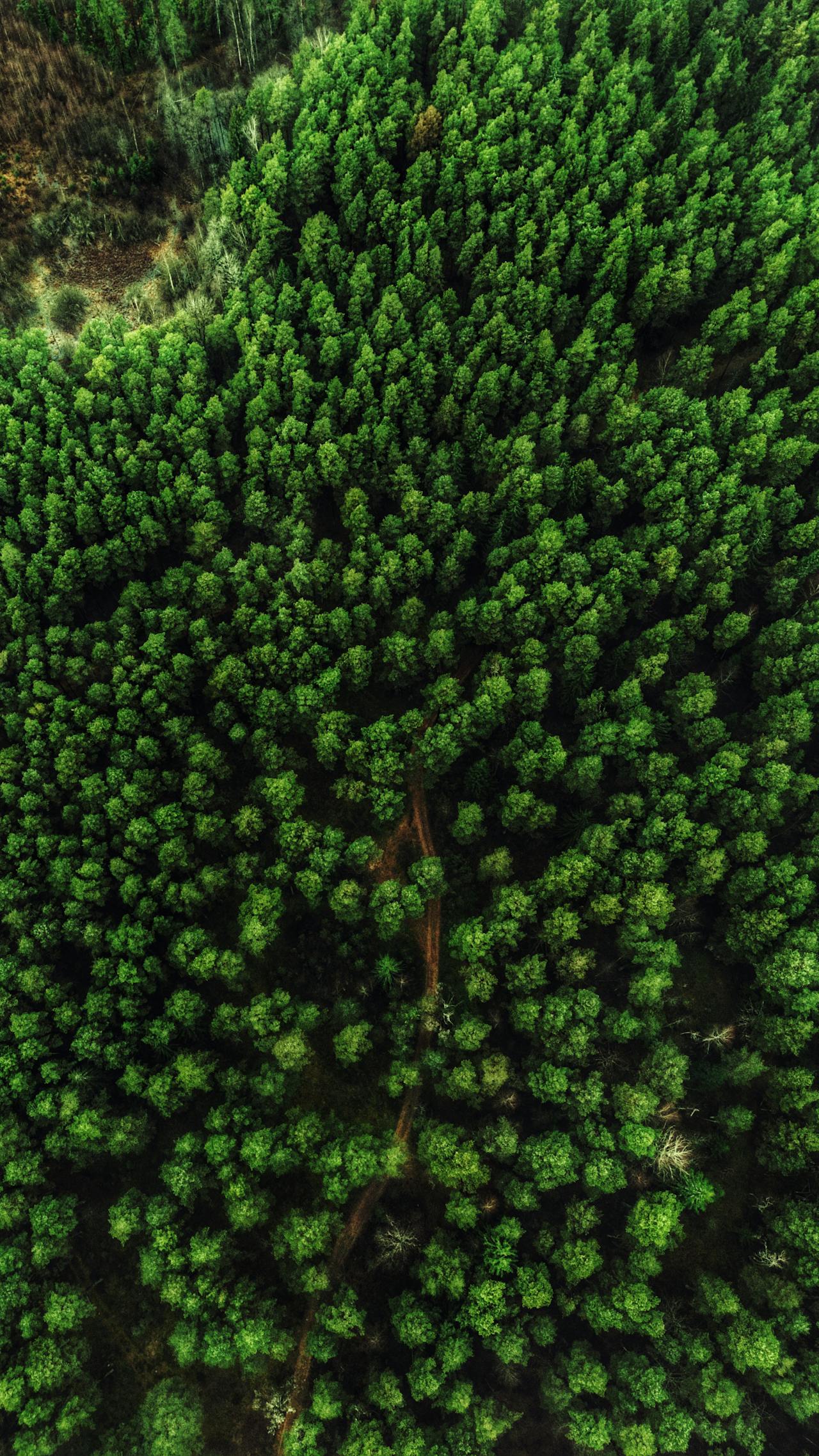
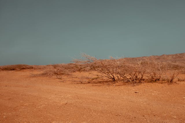
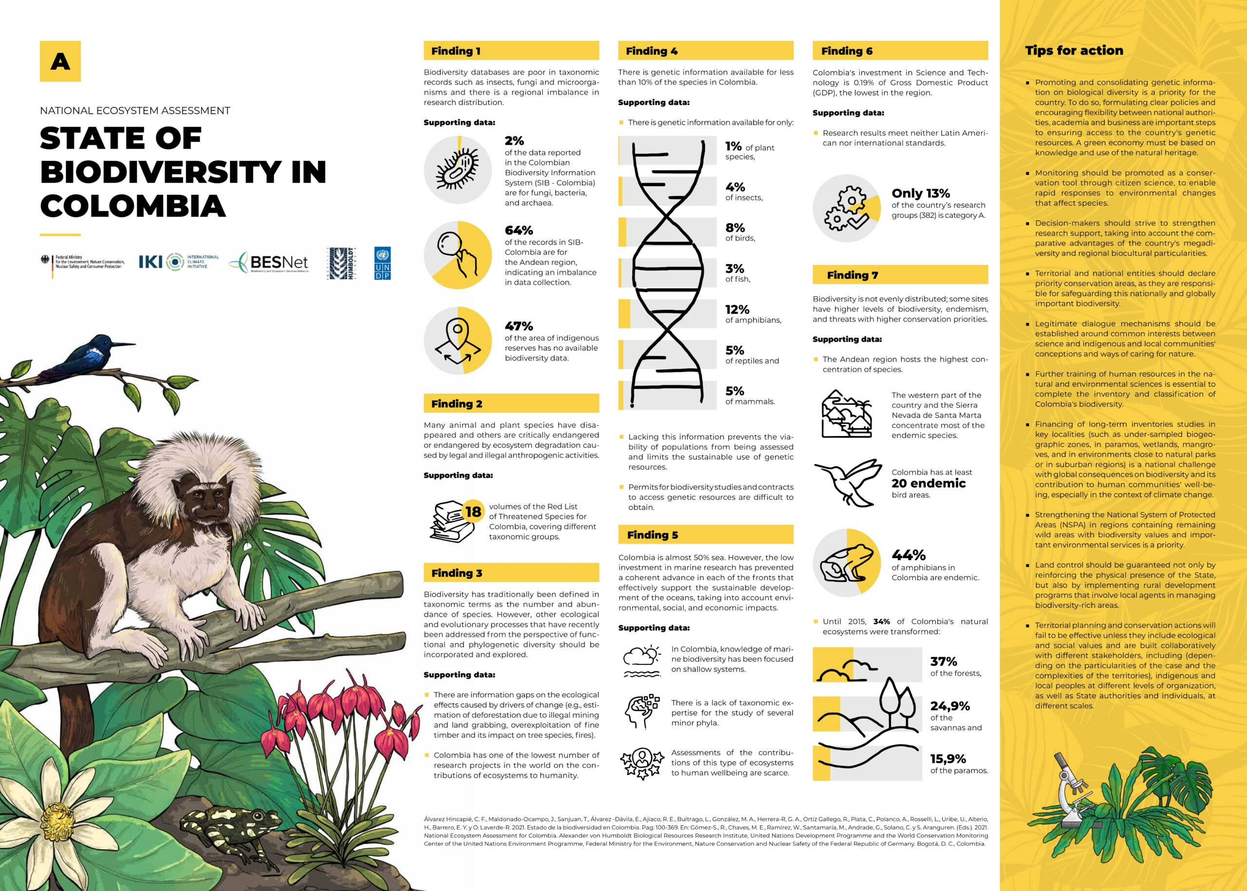
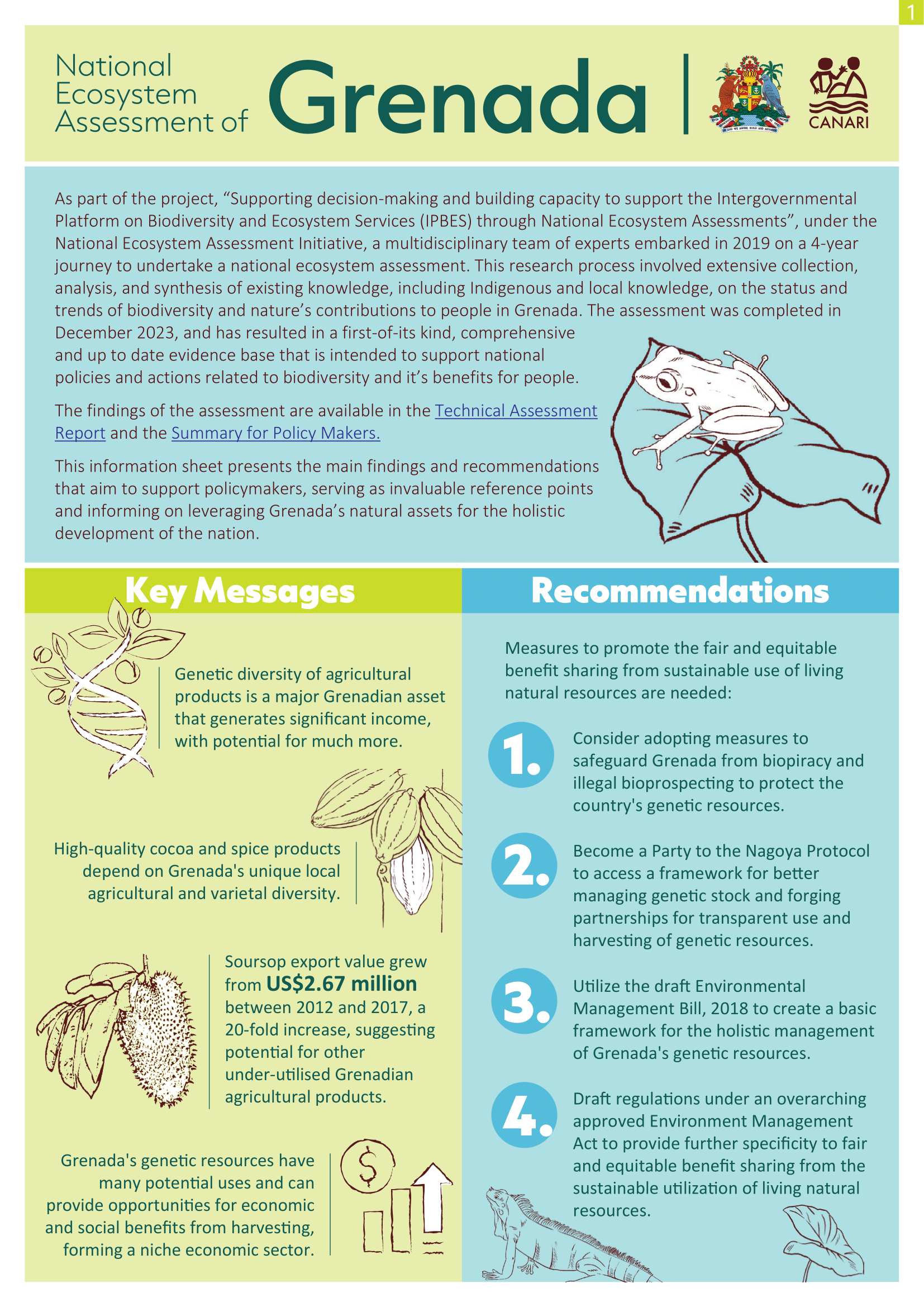
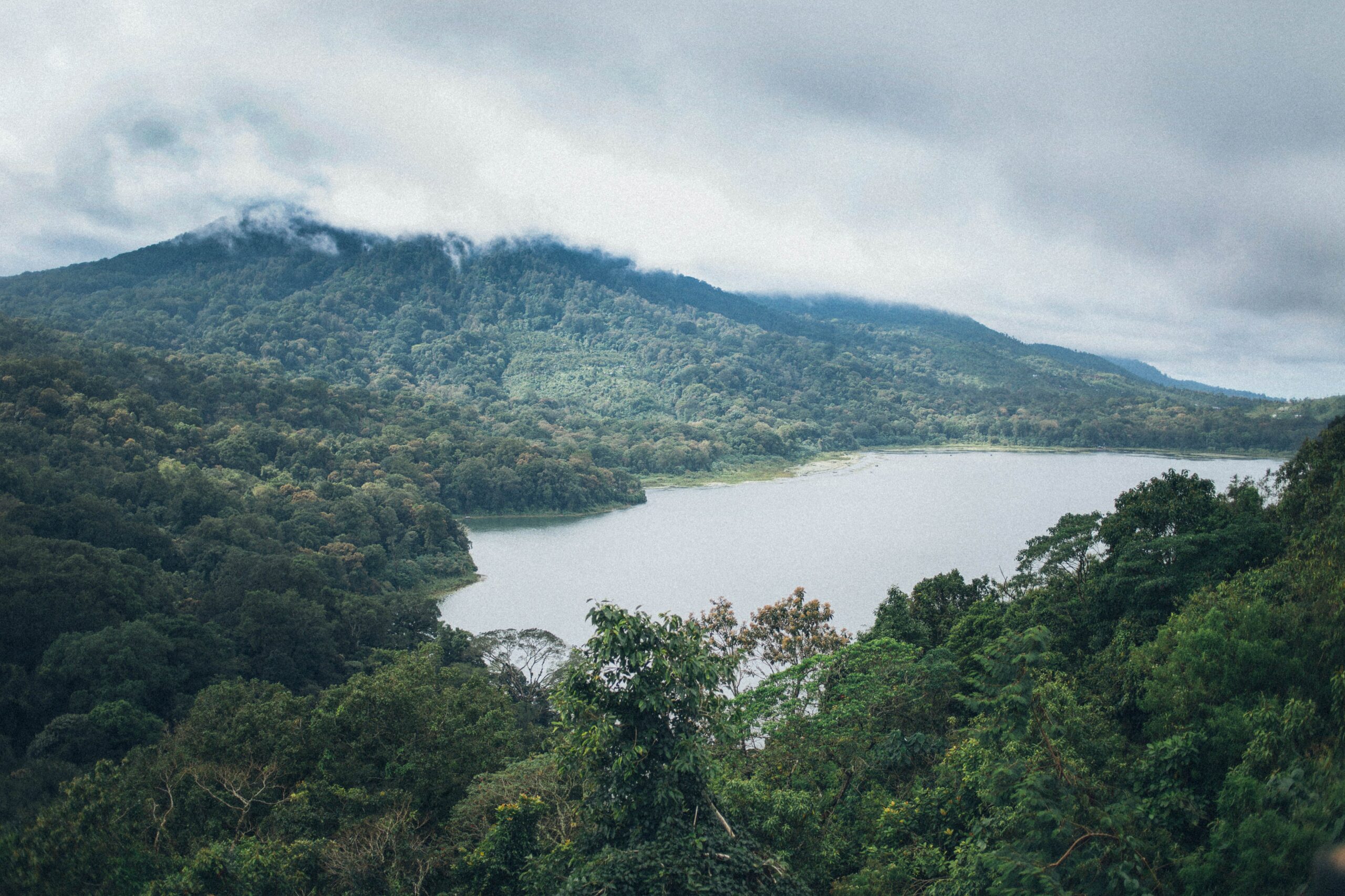
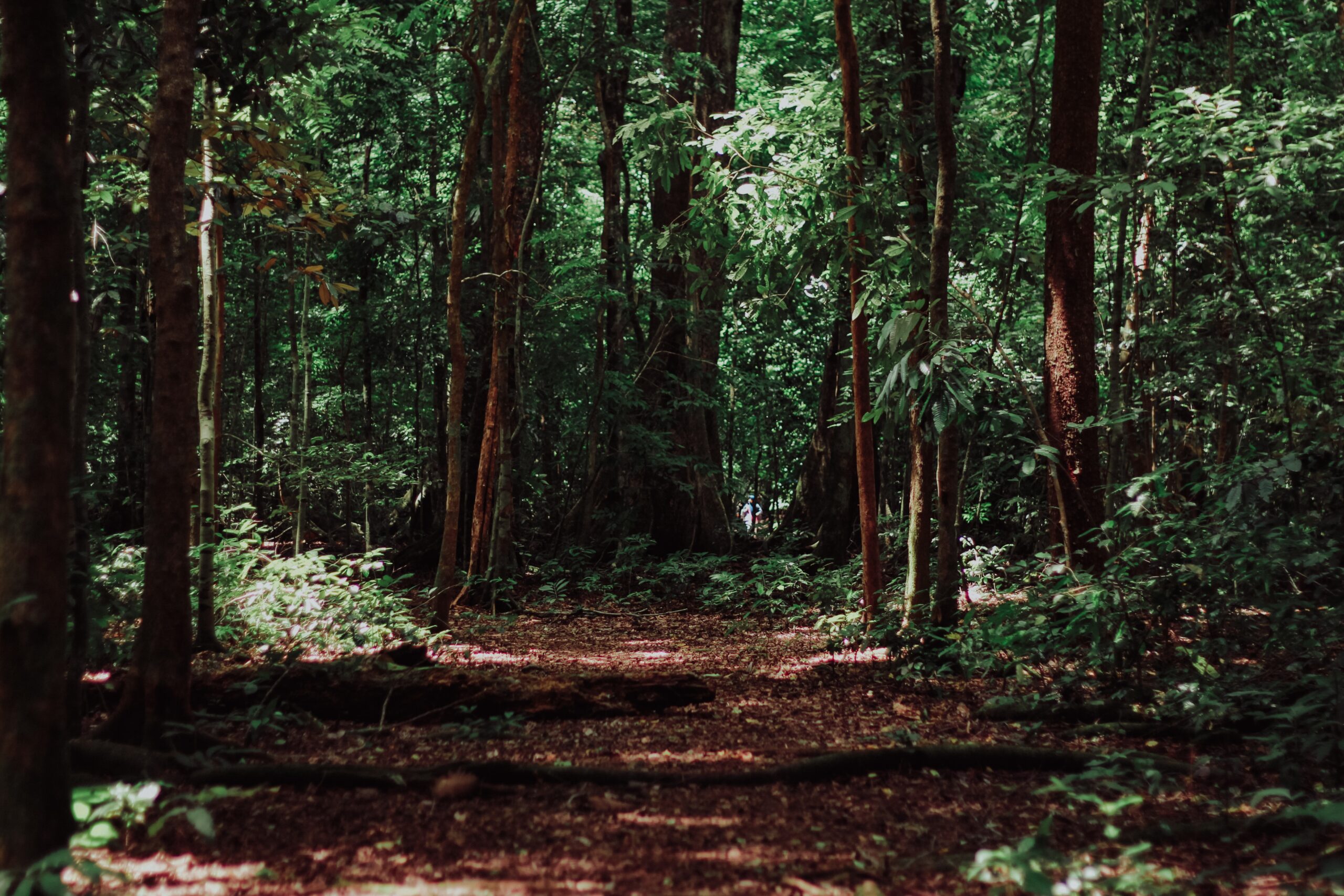
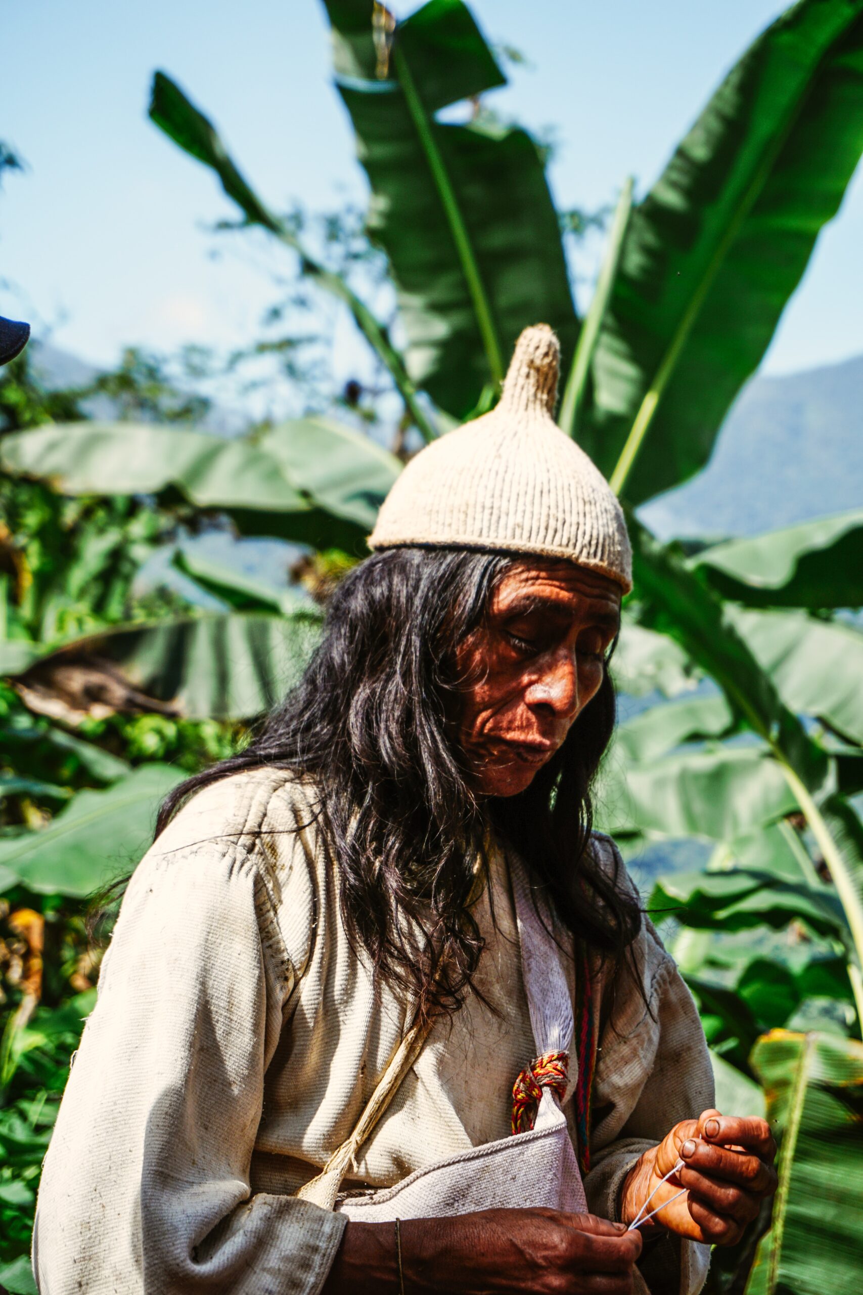
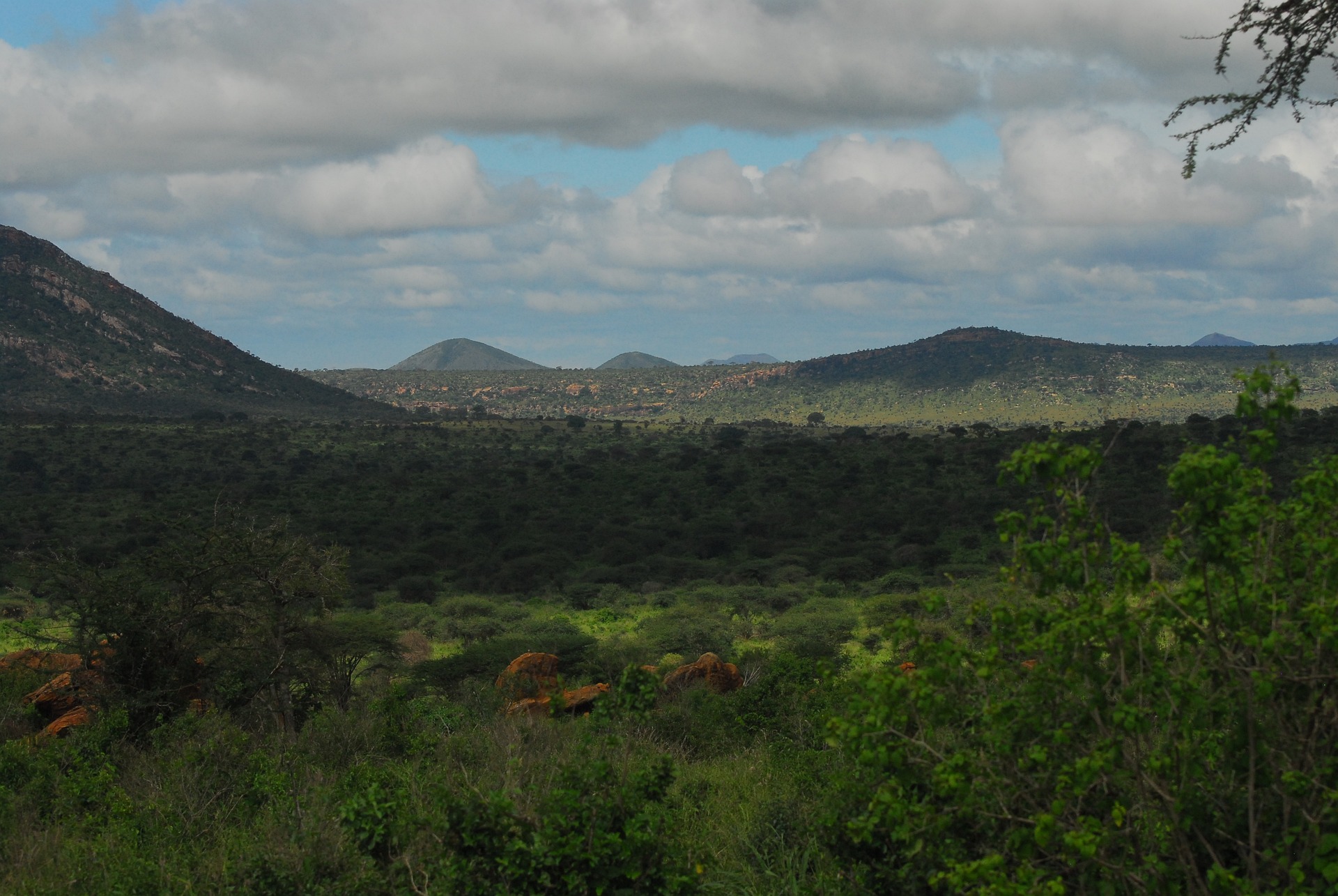
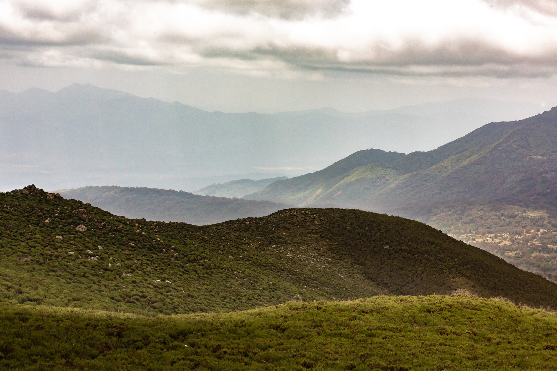
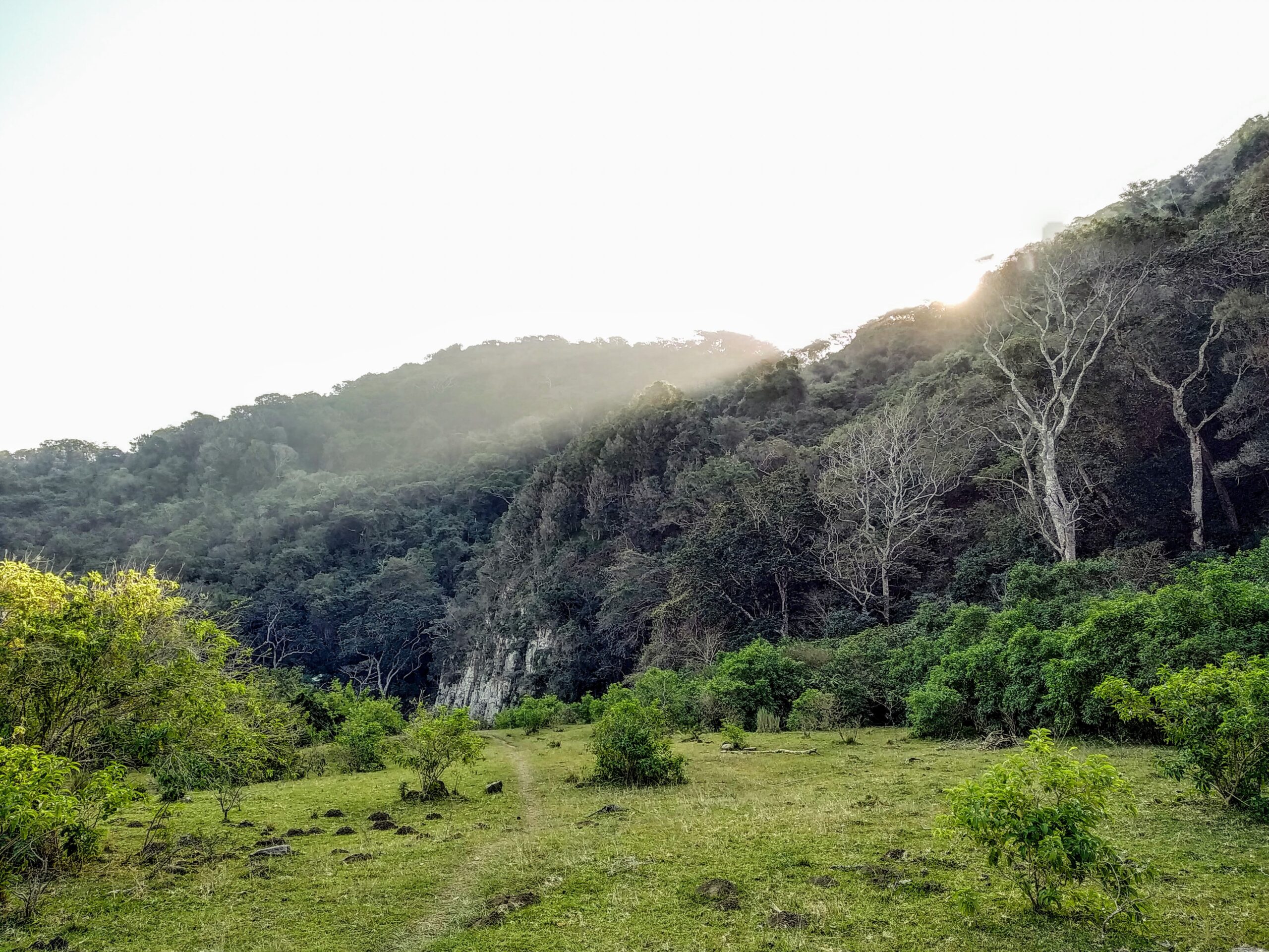
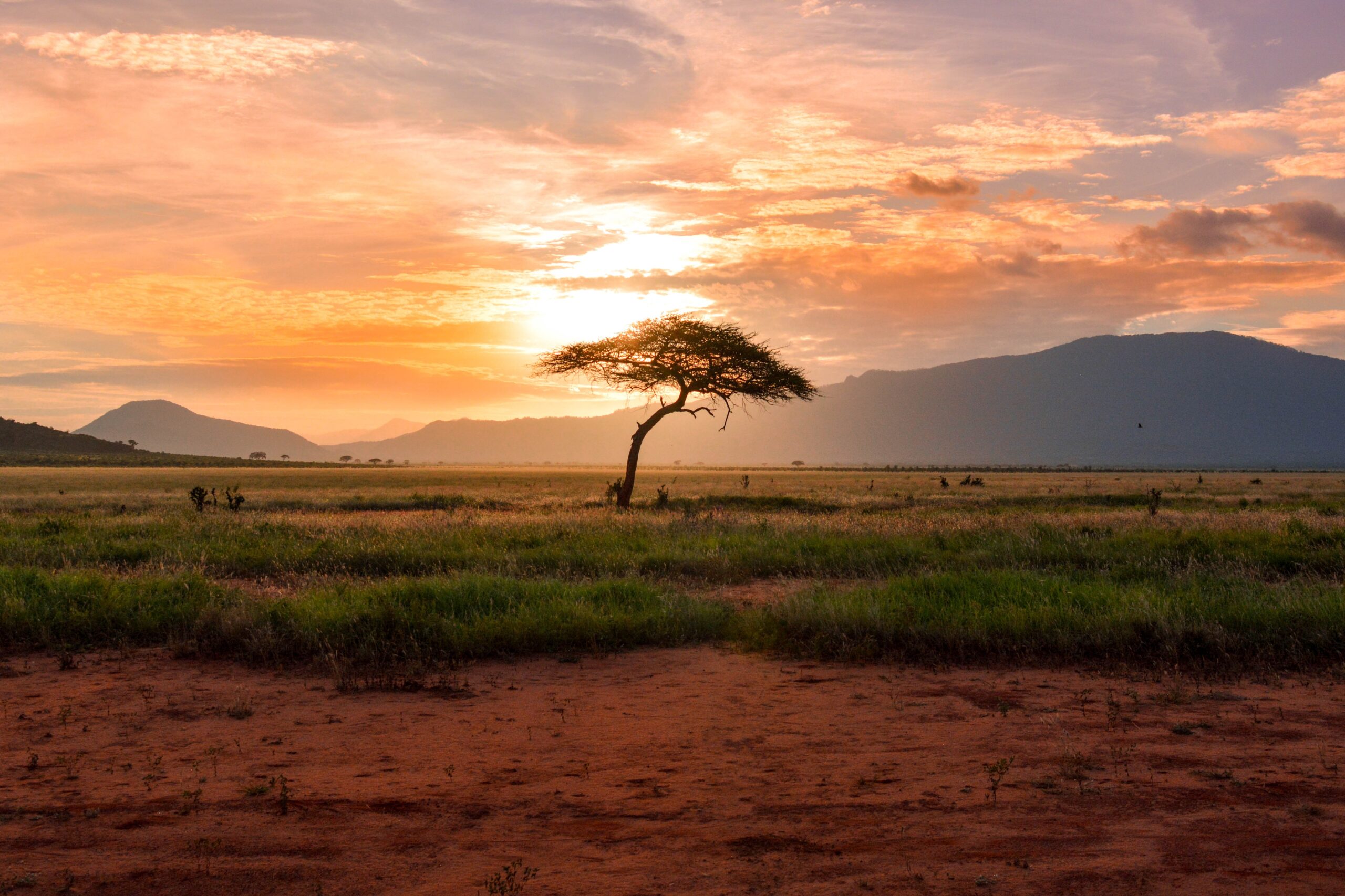
The Pacific Equatorial dry forest of Northern Peru is recognized for its unique endemic biodiversity. Although highly threatened the forest provides livelihoods and ecosystem services to local communities. As agro-industrial expansion and climatic variation transform the region, close ecosystem monitoring is essential for viable adaptation strategies. UAVs offer an affordable alternative to satellites in obtaining both color and near-infrared imagery to meet the specific requirements of spatial and temporal resolution of a monitoring system. Combining this with their capacity to produce three-dimensional models of the environment provides an invaluable tool for species-level monitoring. Here we demonstrate that object-based image analysis of very high-resolution UAV images can identify and quantify keystone tree species and their health across wide heterogeneous landscapes. The analysis exposes the state of the vegetation and serves as a baseline for monitoring and adaptive implementation of community-based conservation and restoration in the area.
Identifying species from the air: UAVs and the very high resolution challenge for plant conservation
Year: 2017