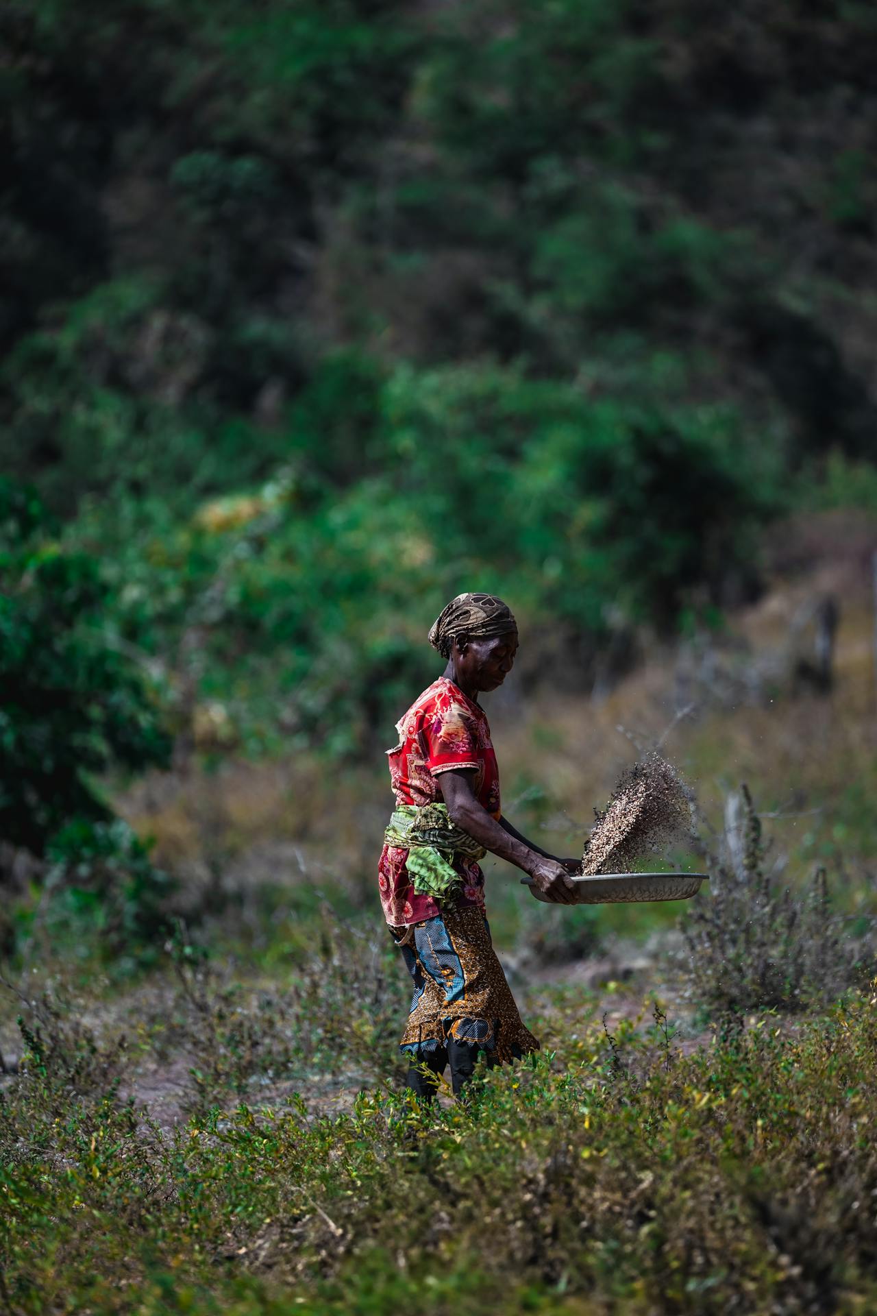
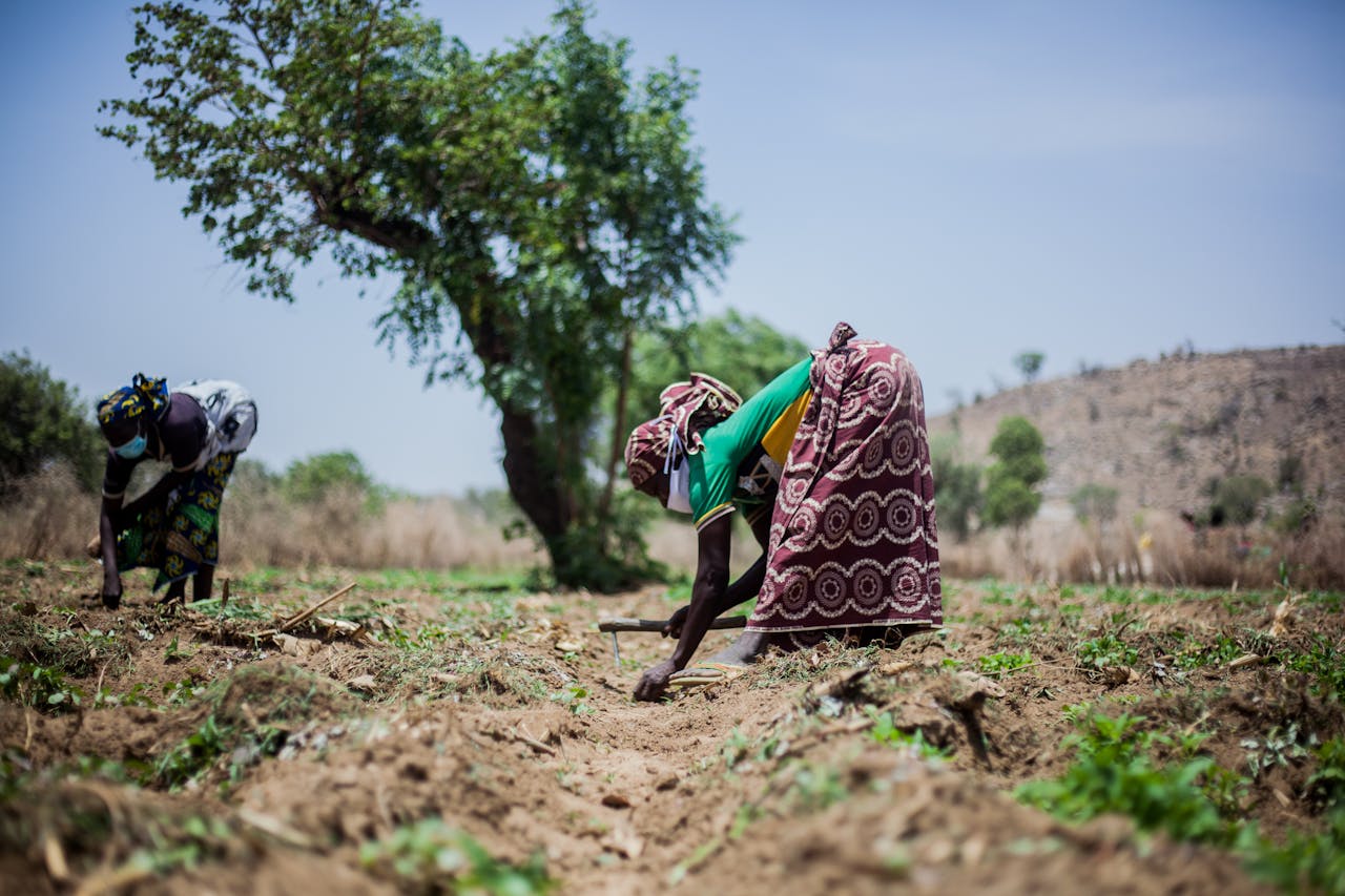
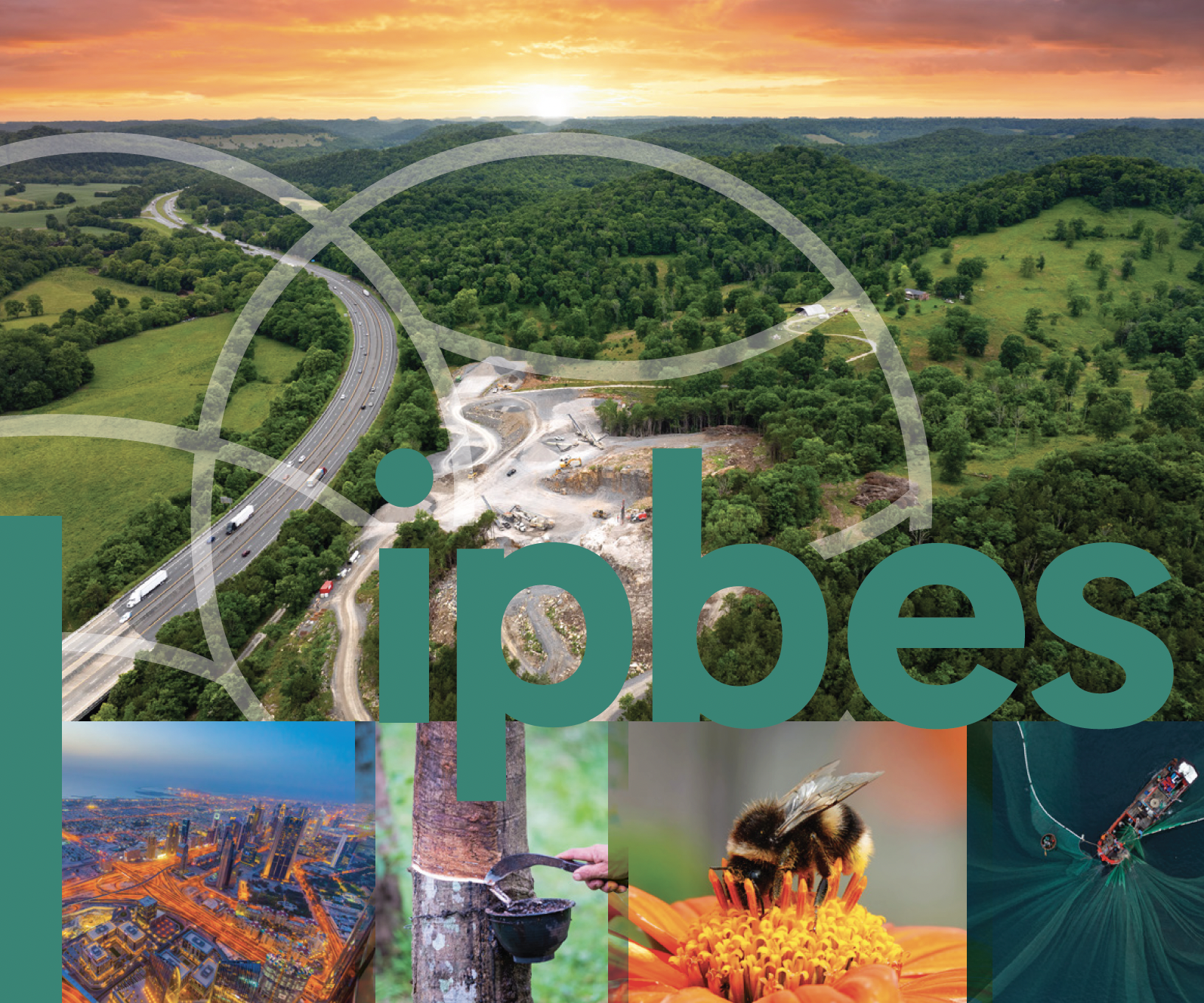
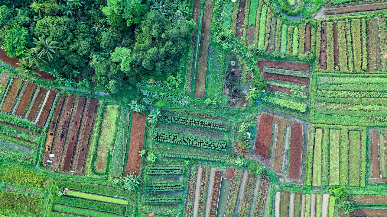
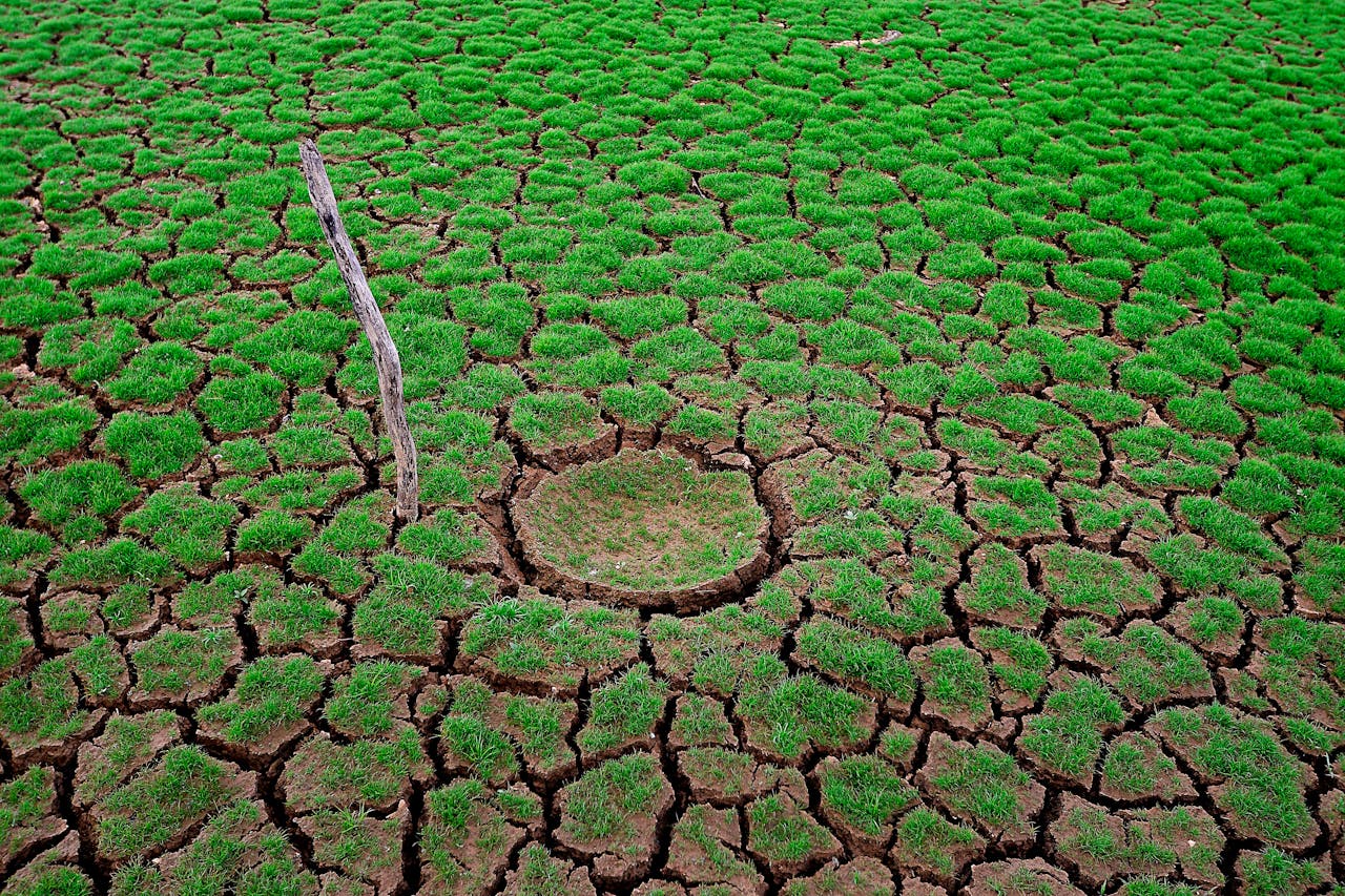
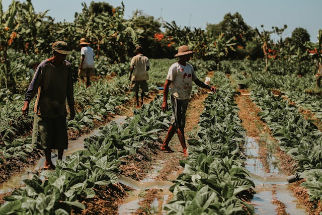
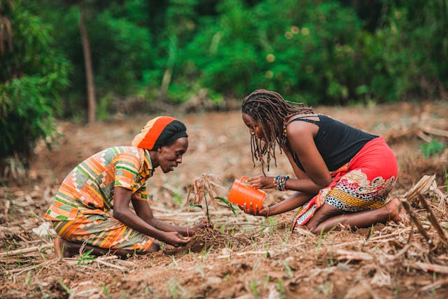
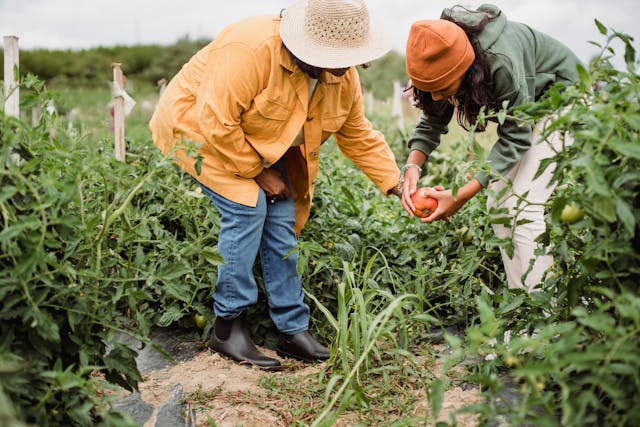
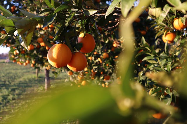
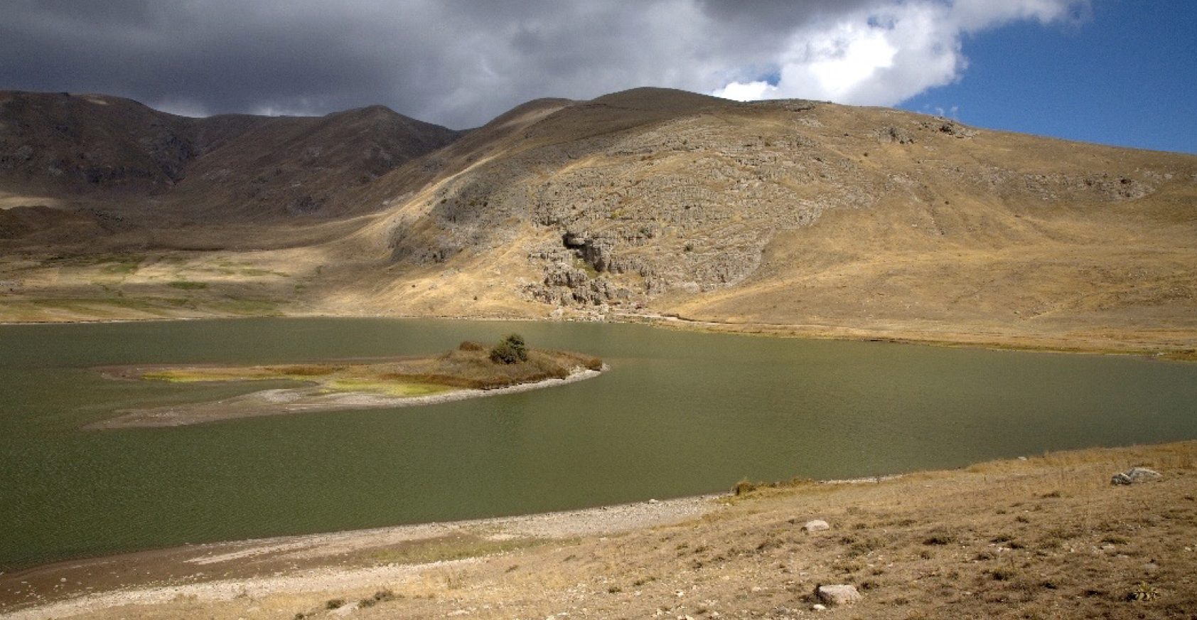
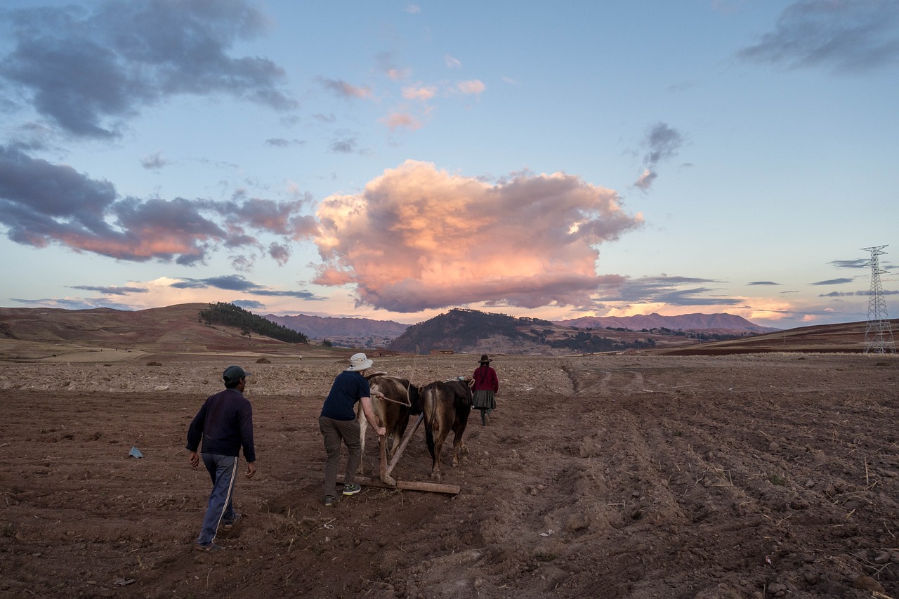
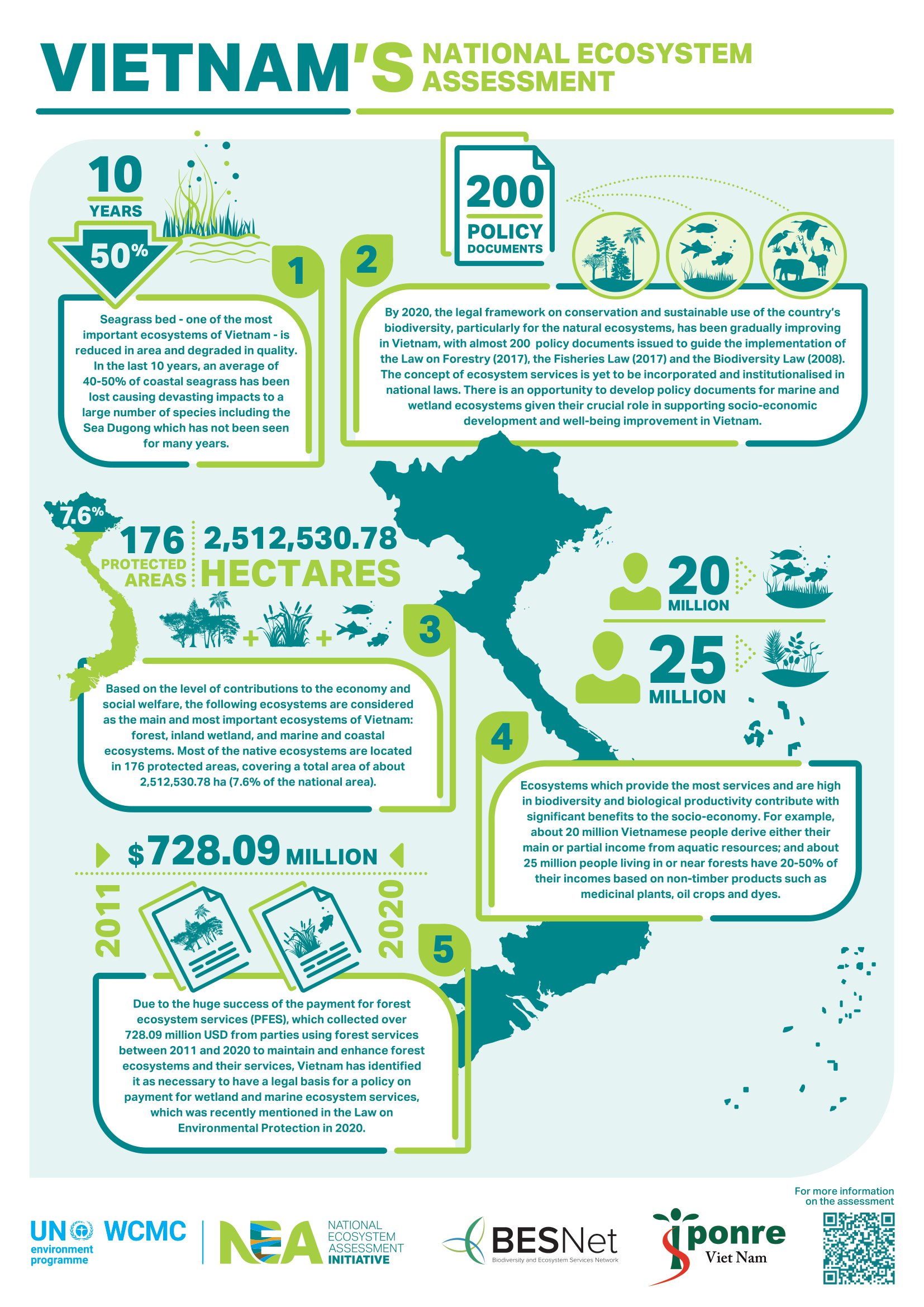
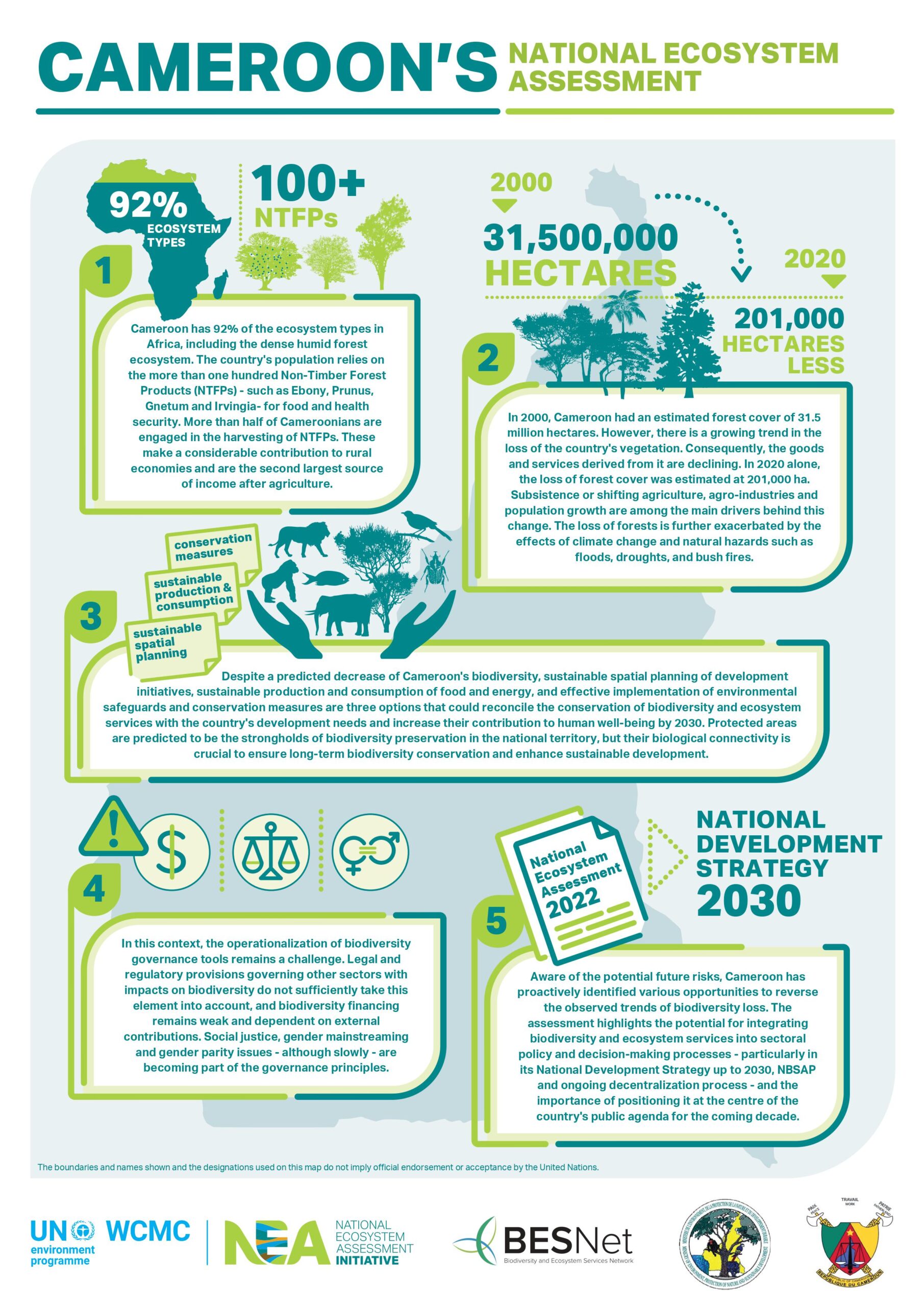
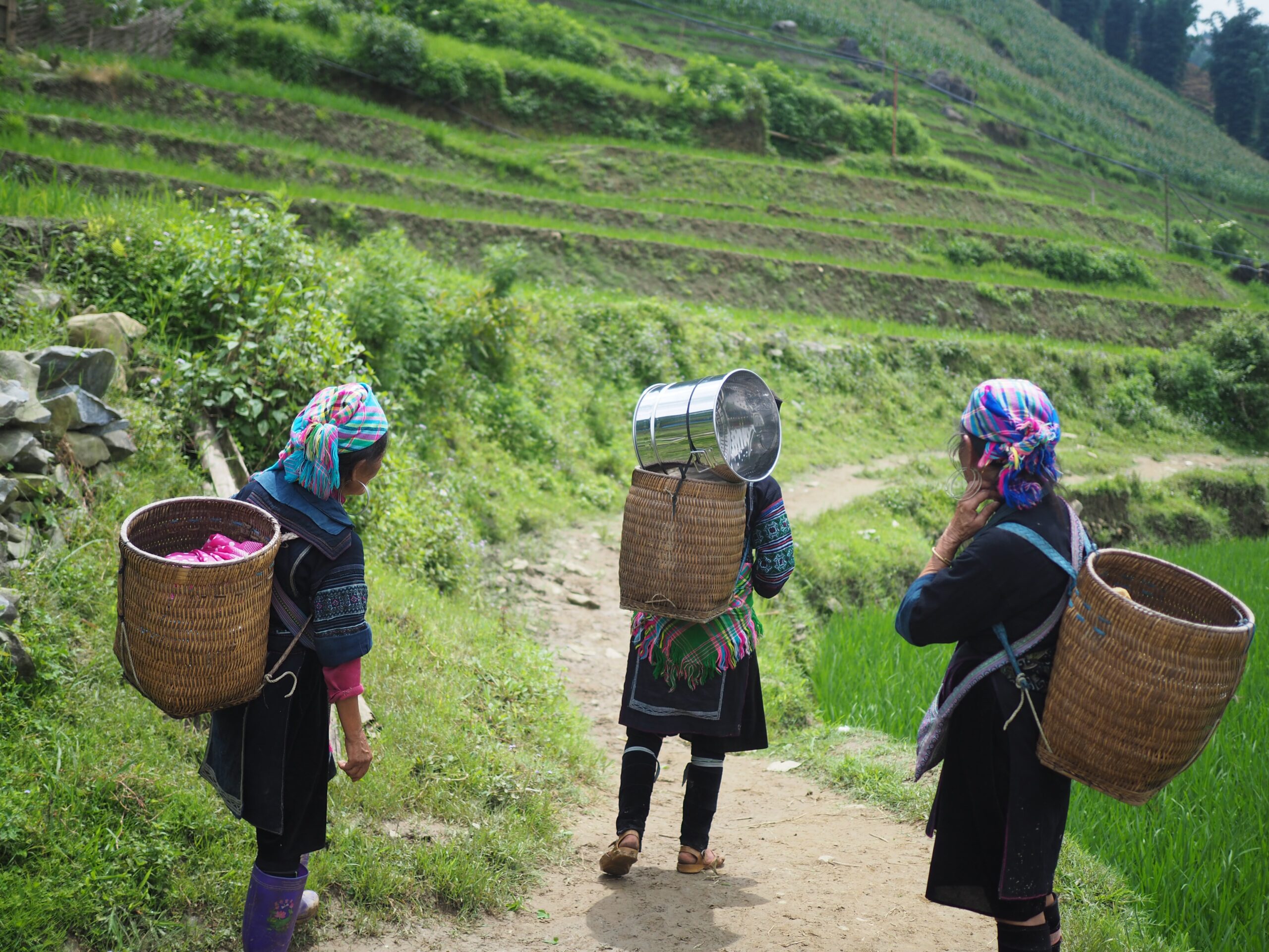
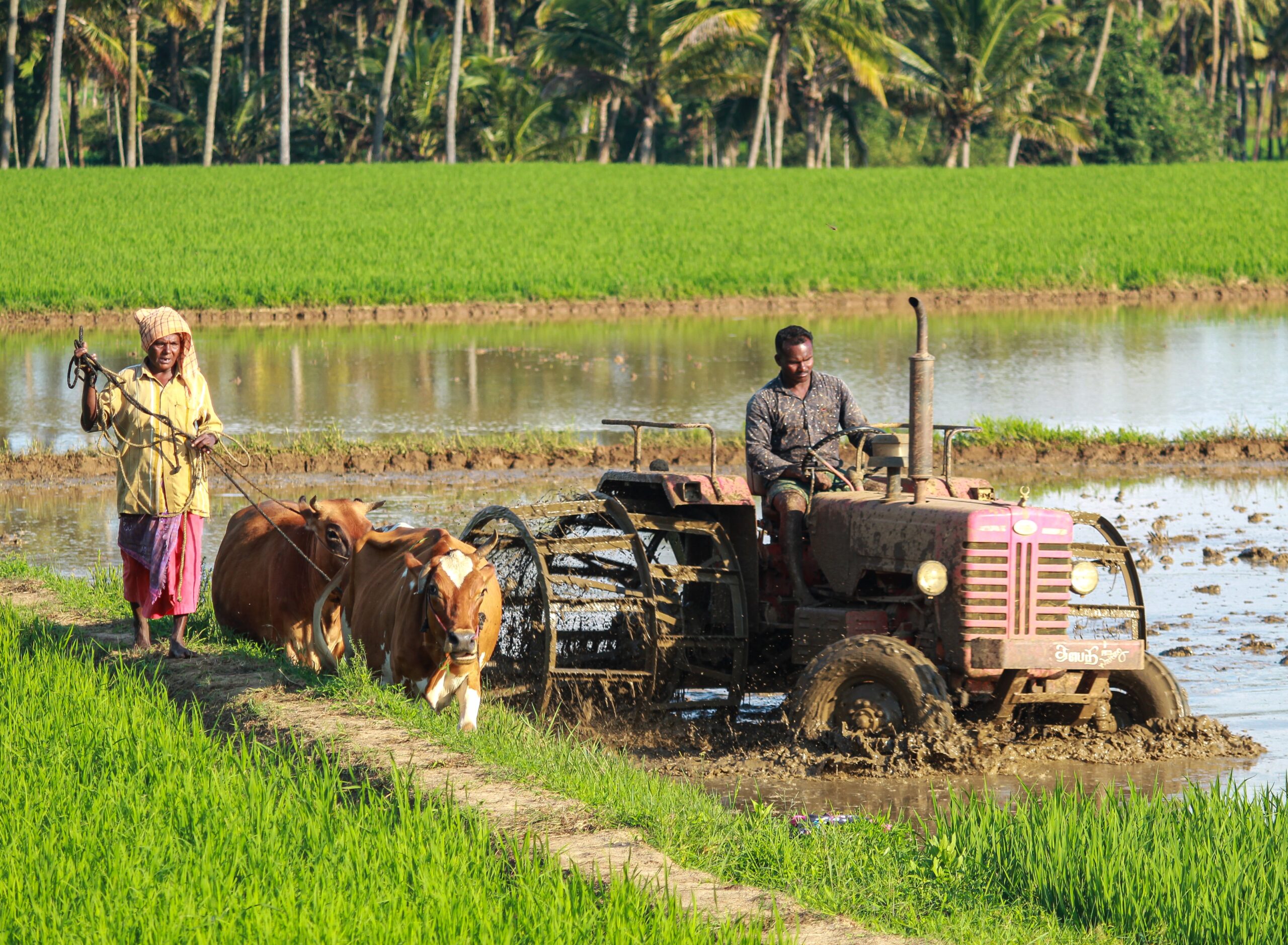
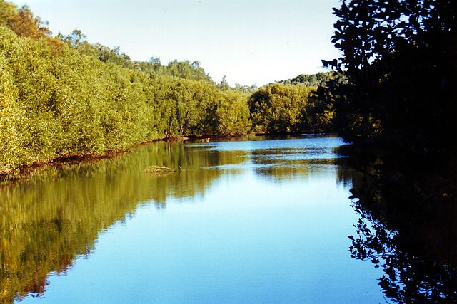
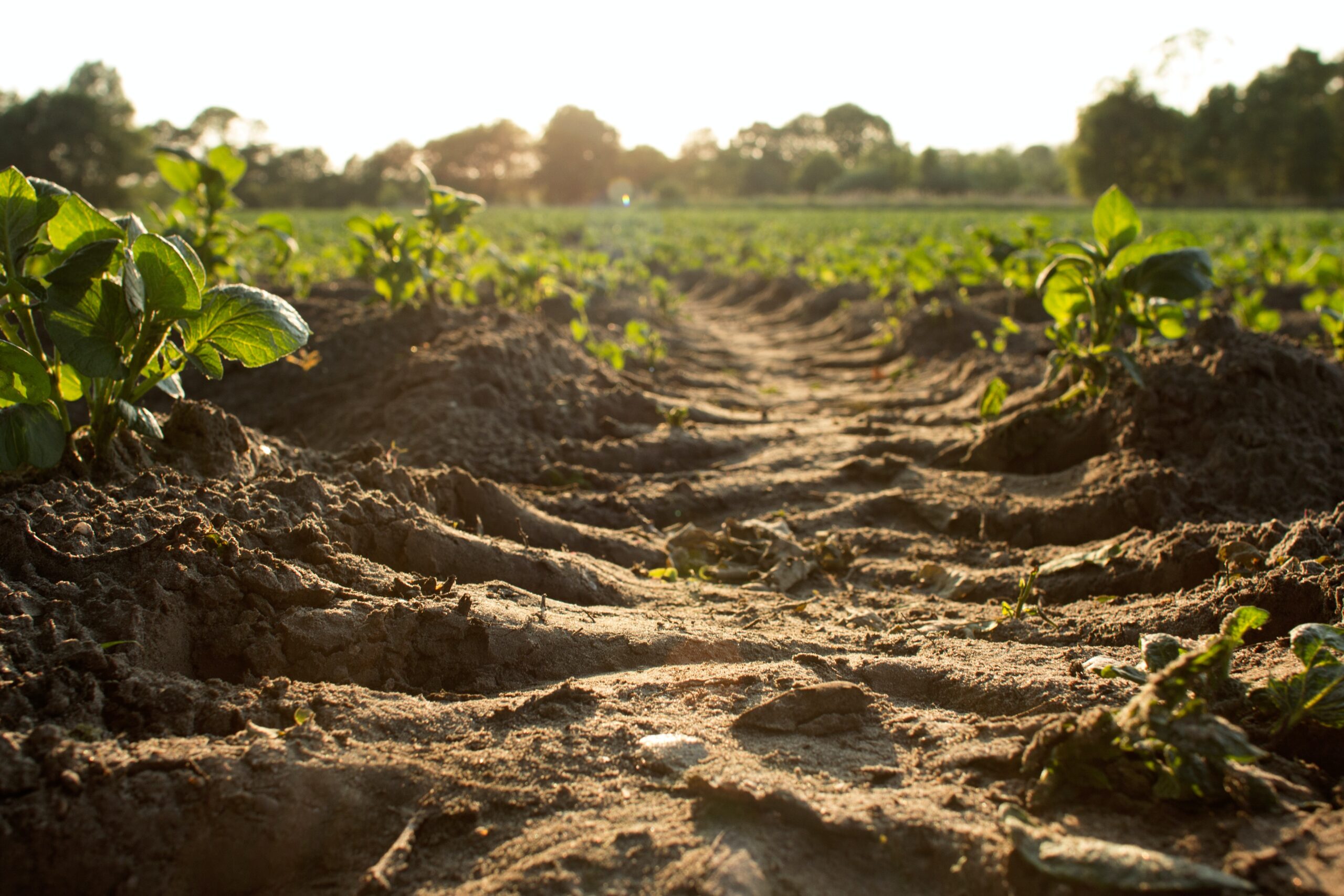
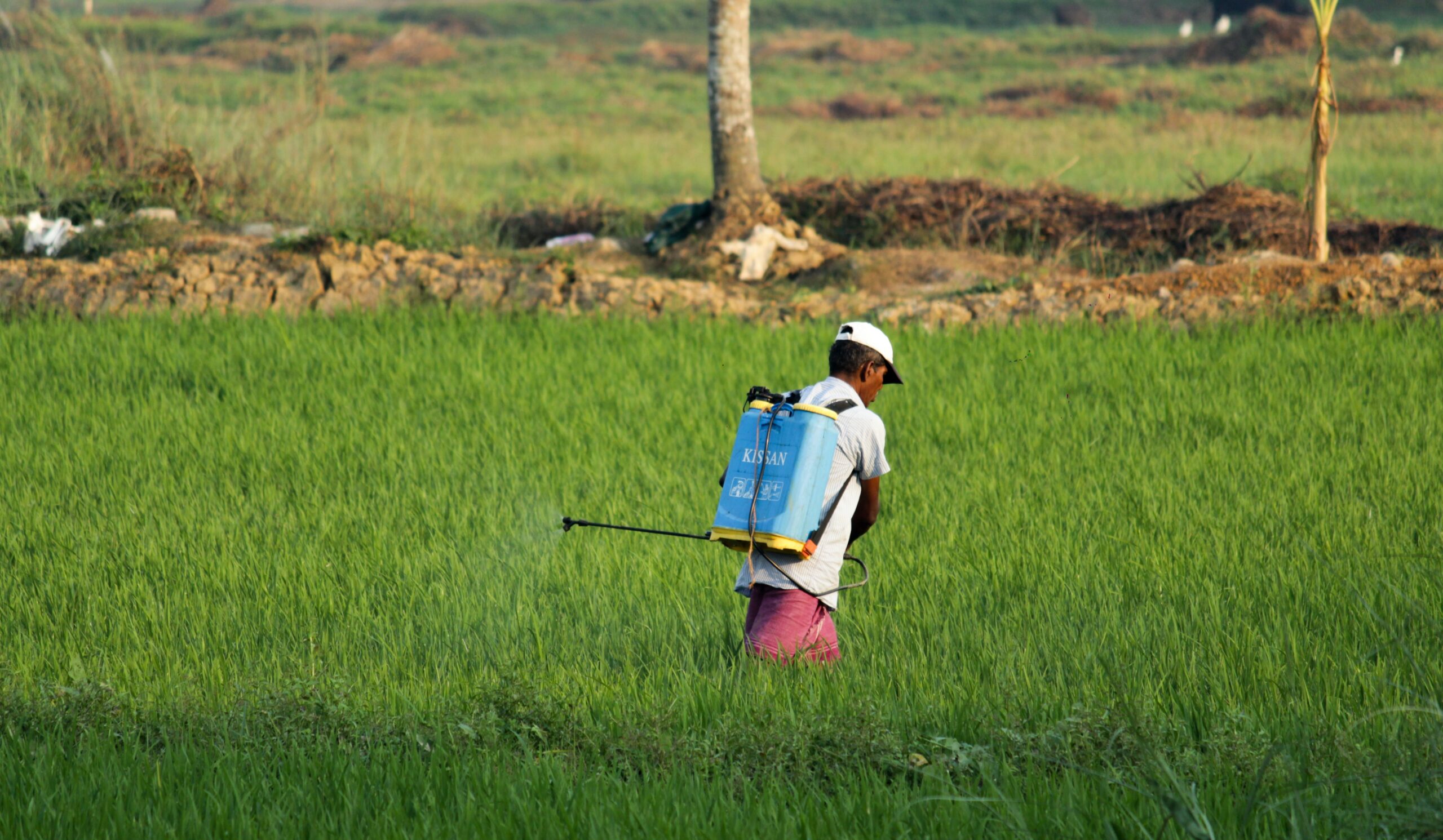
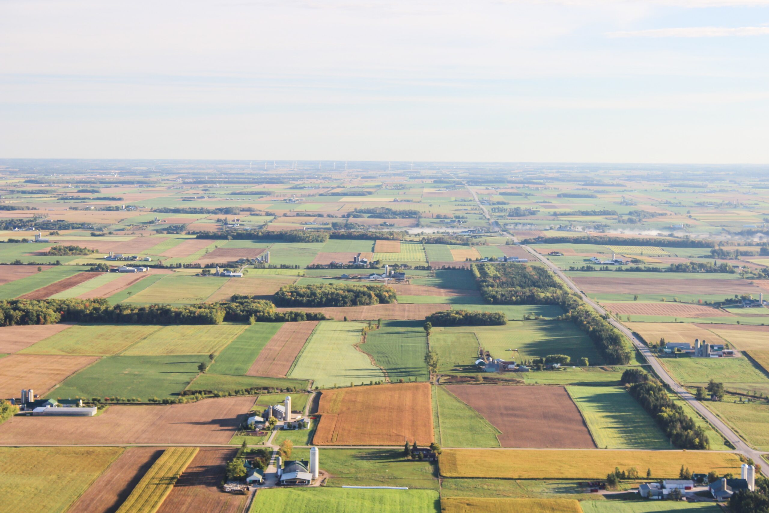
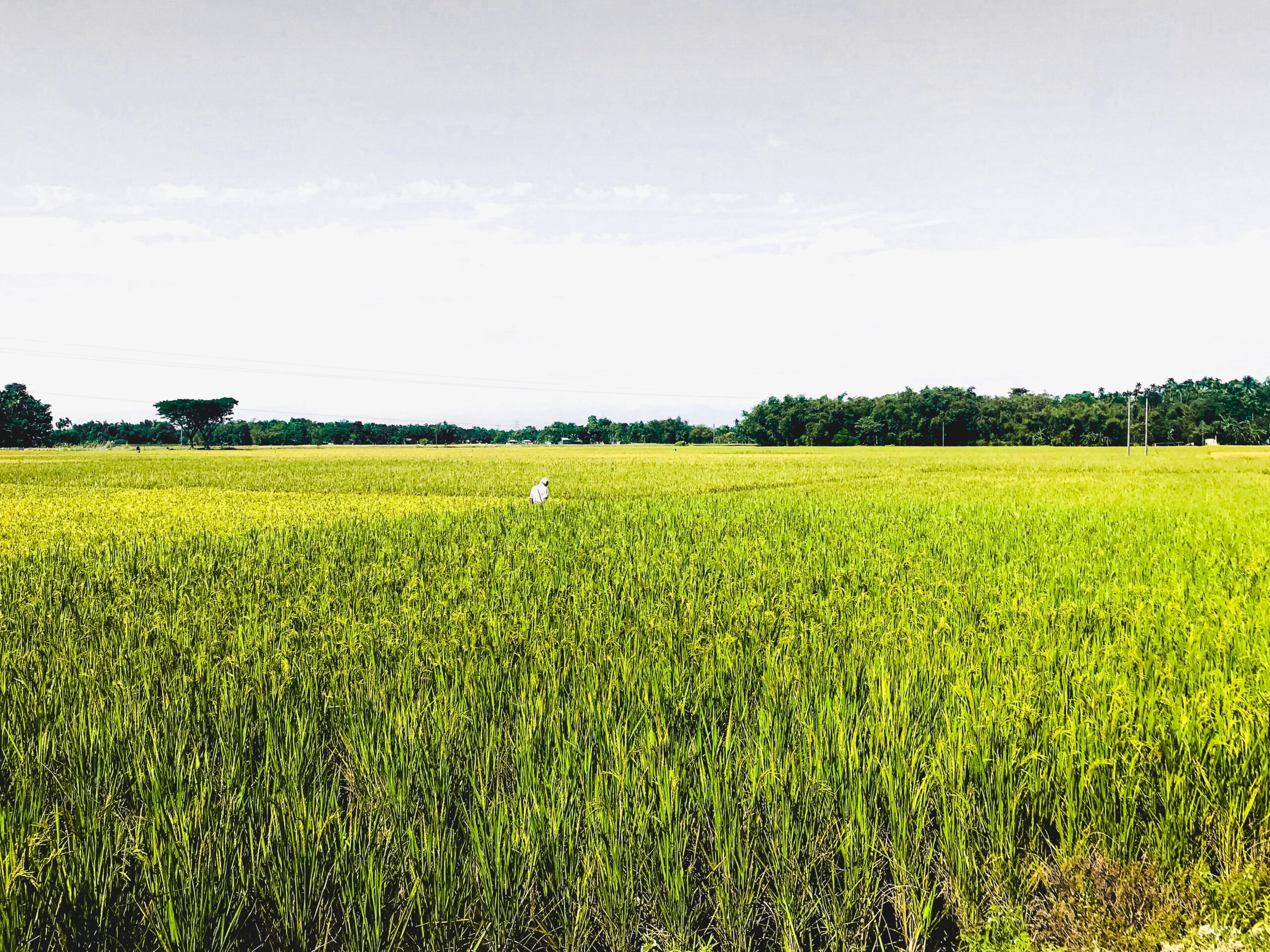
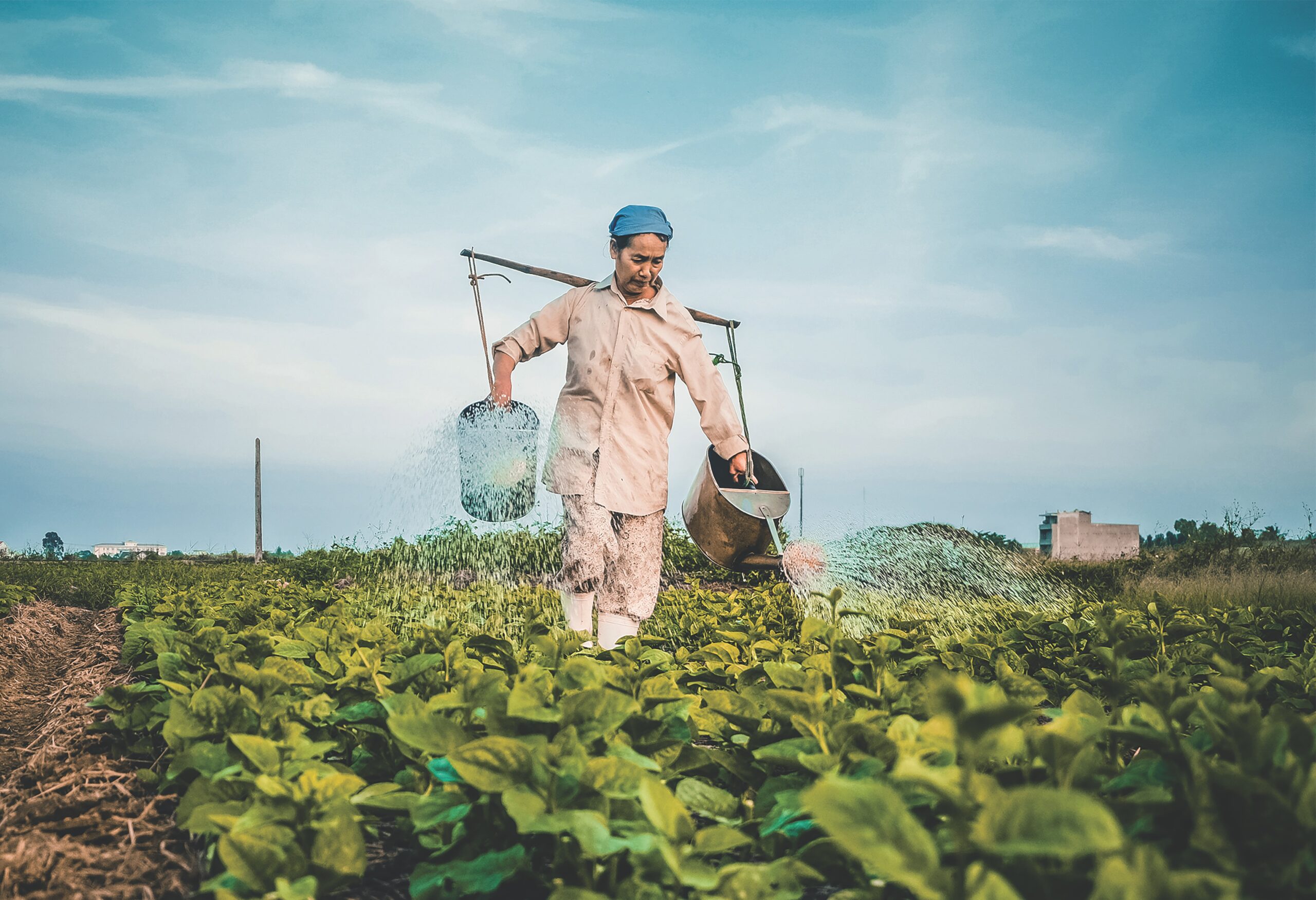
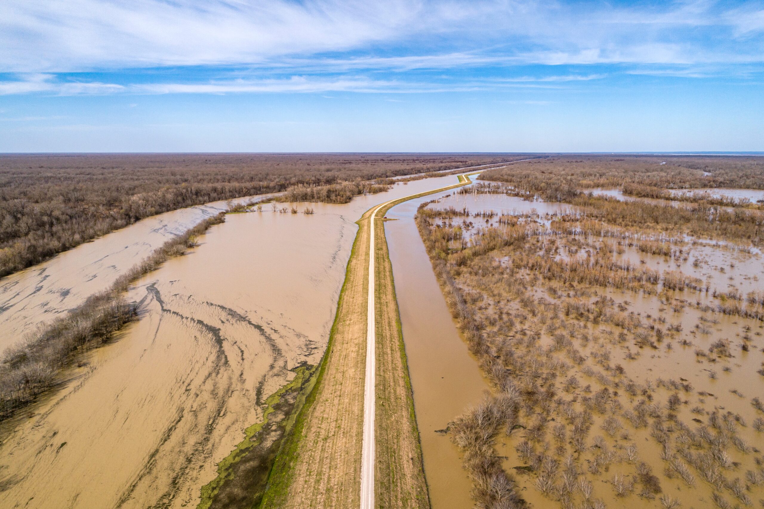
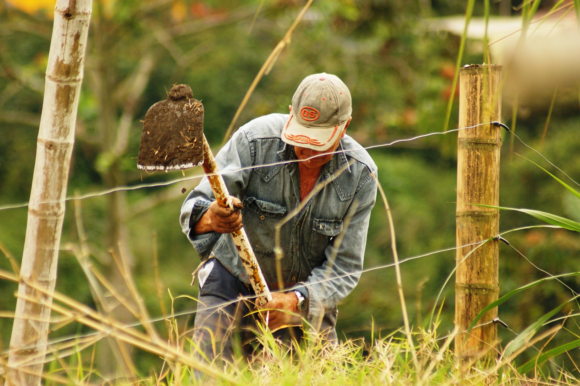
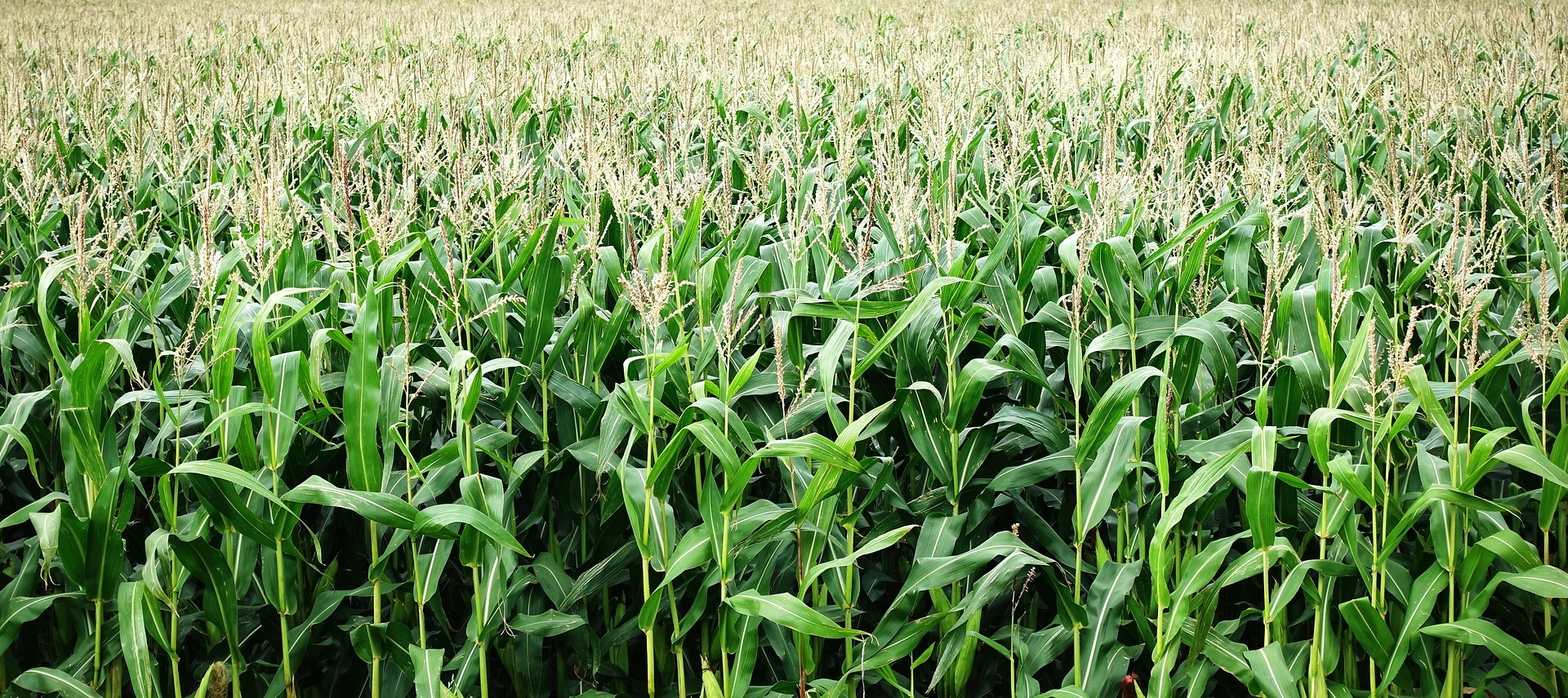
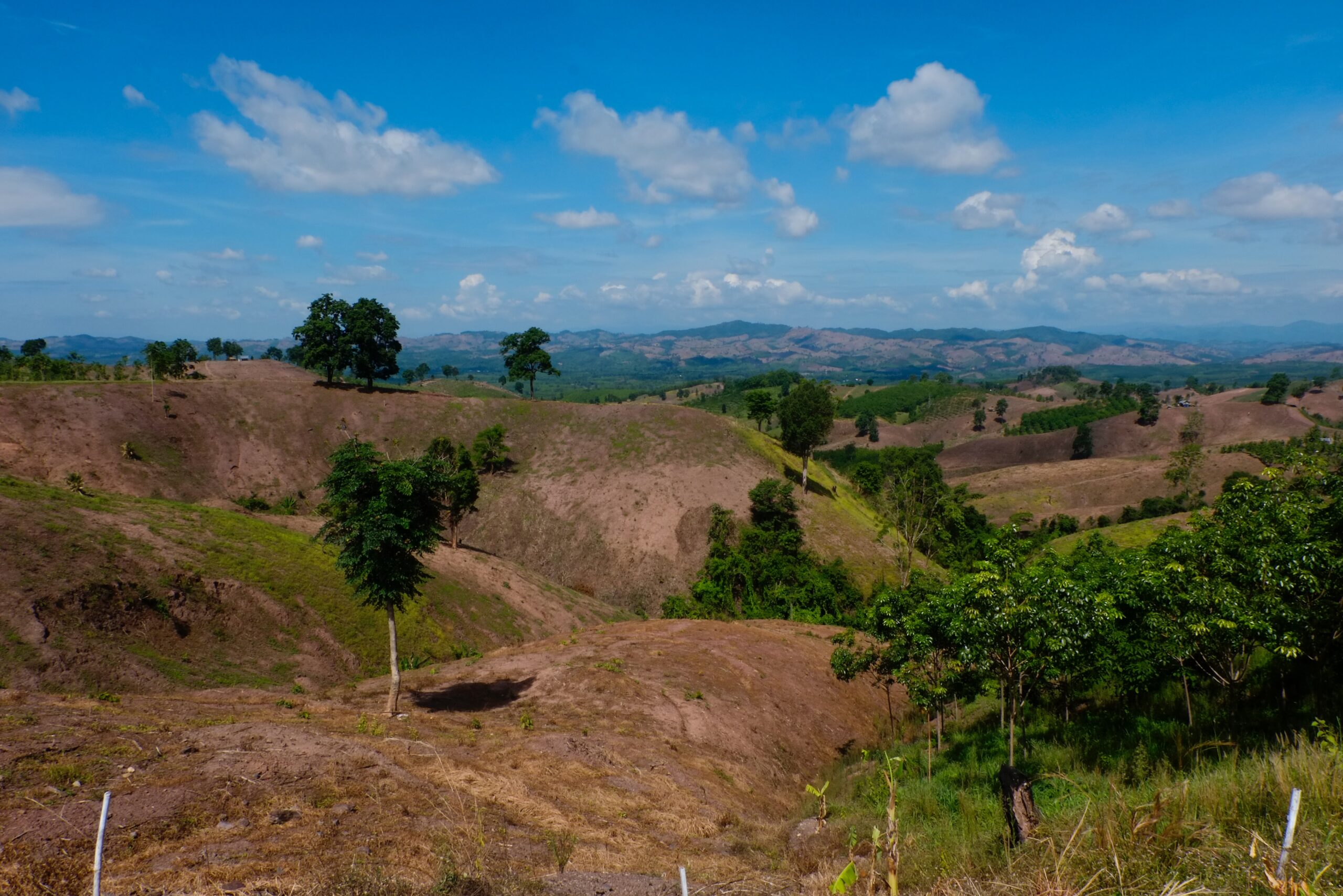
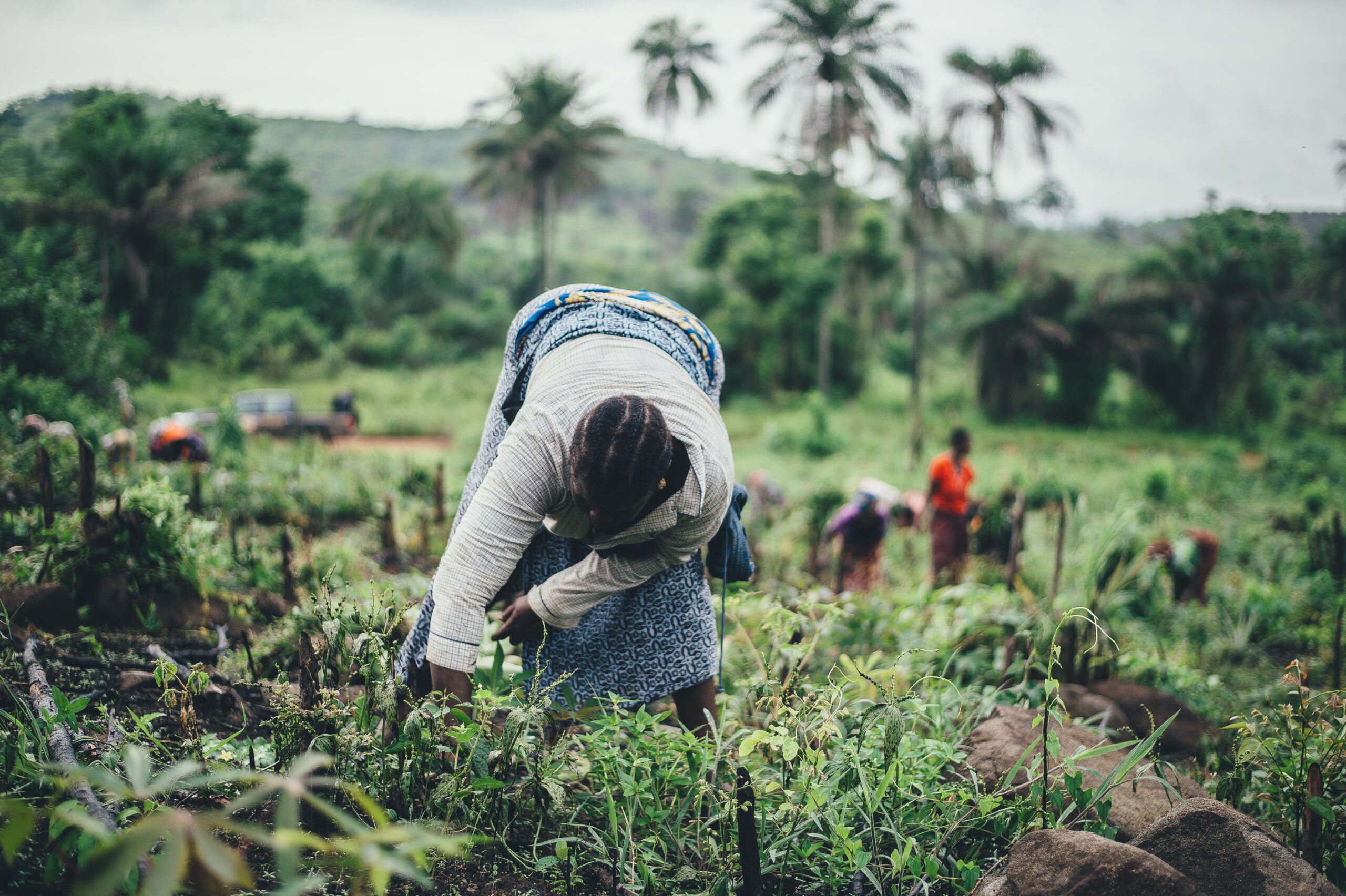
In West Africa, where the majority of the population relies on natural resources and rain-fed agriculture, regionally adapted agricultural land-use planning is increasingly important to cope with the growing demand for land-use products and intensifying climate variability. As an approach to identify effective future land-use strategies, this study applied spatially explicit modeling that addresses the spatial connectivity between the provision of ecosystem services and agricultural land-use systems. Considering that the status of ecosystem services varies with the perception of stakeholders, local knowledge, and characteristics of a case study area, two adjoining districts in northern Ghana were integrated into an assessment process of land-use strategies. Based on agricultural land-management options that were identified together with the local stakeholders, 75 future land-use strategies as combinations of multiple agricultural practices were elaborated. Potential impacts of the developed land-use strategies on ecosystem services and land-use patterns were assessed in a modeling platform that combines Geographic Information System (GIS) and Cellular Automaton (CA) modules. Modeled results were used to identify the best land-use strategies that could deliver multiple ecosystem services most effectively. Then, the local perception was applied to determine the feasibility of the best land-use strategies in practice. The results presented the di erent extent of trade-offs and synergies between ecosystem services delivered by future land-use strategies and their different feasibility depending on the district. Apart from the fact that findings were context-specific and scale-dependent, this study revealed that the integration of di erent local characteristics and local perceptions to spatially explicit ecosystem service assessment is beneficial for determining locally tailored recommendations for future agricultural land-use planning.
Integrating ecosystem services into land-use modeling to assess the effects of future land-use strategies in northern Ghana
Year: 2021