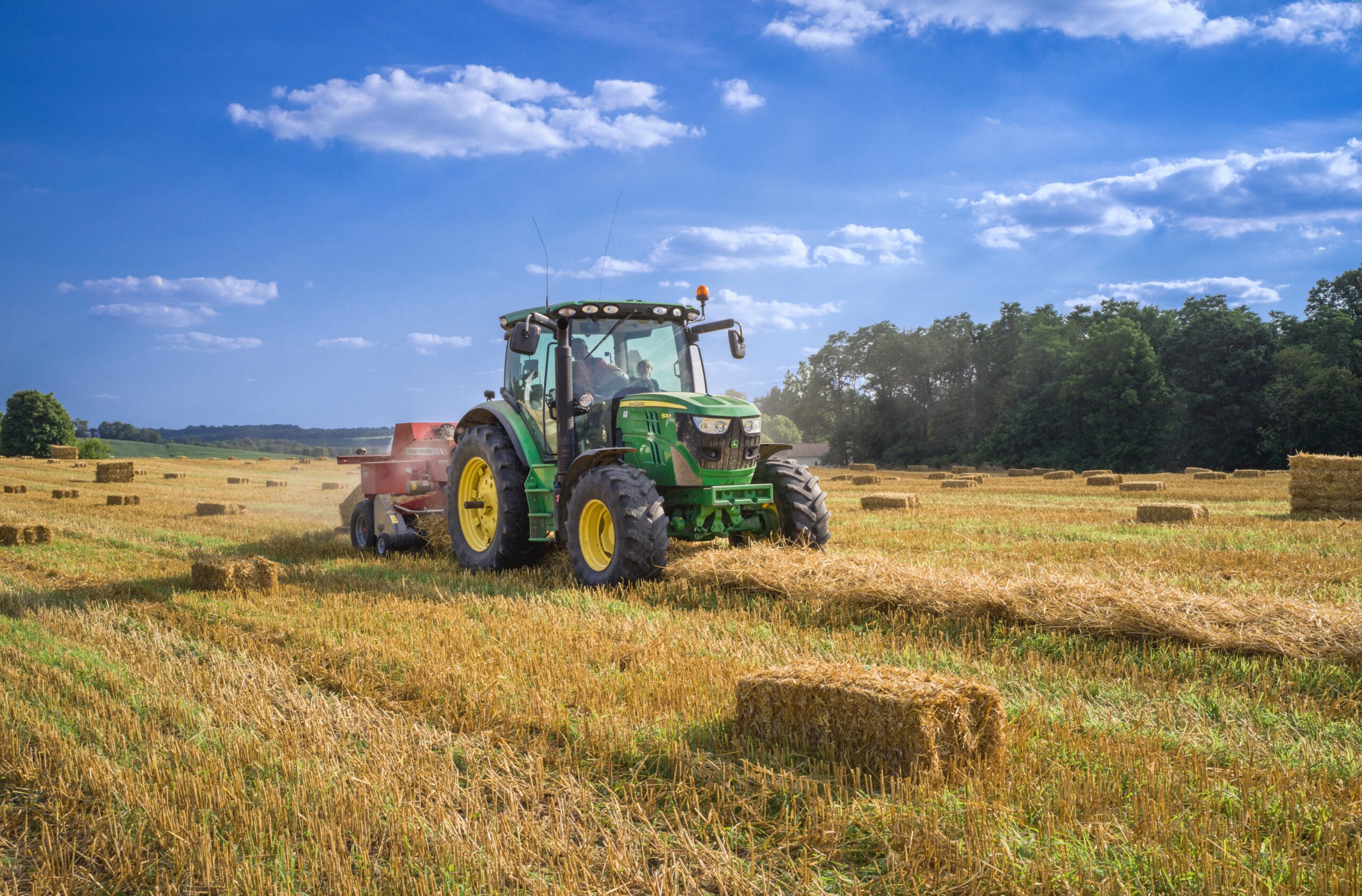
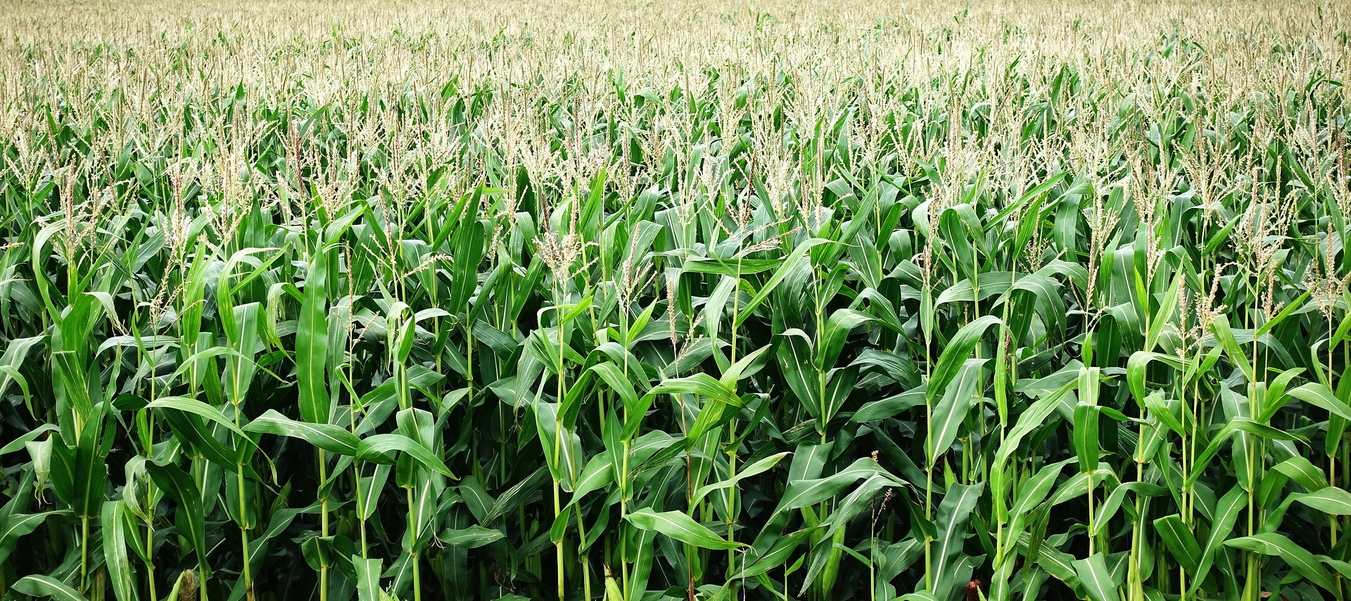
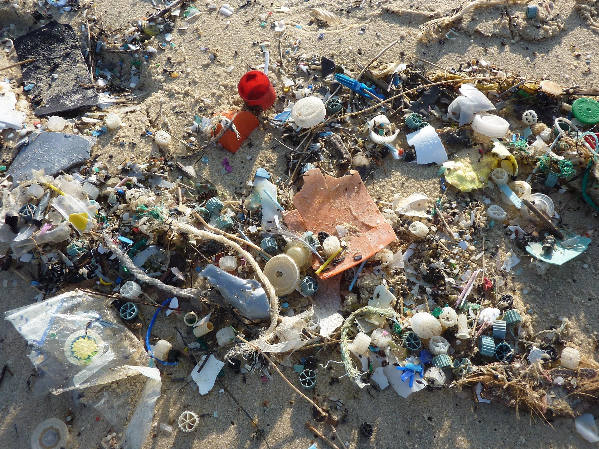
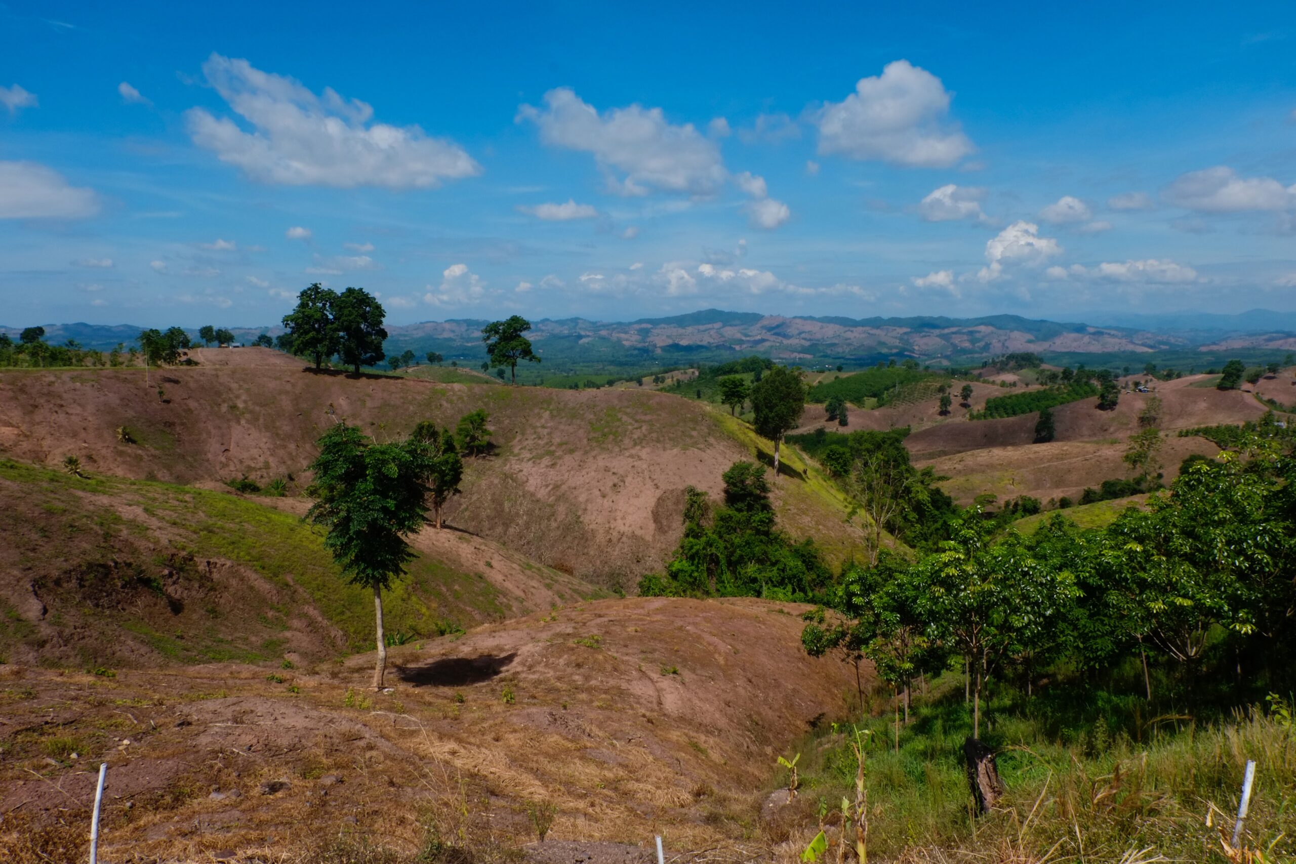
The study addresses two shortcomings. First, through geographic information system (GIS) analysis, spatially referenced data are employed to map global indicators of degrading versus improving agricultural land, LFAL, and LFAA. Second, GIS is also used to overlay the latter indicators with spatially referenced data on the rural populations. This analysis is conducted globally, across the developing world, by region, and by country, and for two time periods, 2000 and 2010. Third, these spatial data sets are used in a cross-country econometric analysis to determine how changes in poverty are affected by the spatial distribution of rural populations in developing countries on degrading and improving agricultural land, LFAL, and LFAA. Finally, the results of the spatial and econometric analysis inform how better policies can be implemented to improve sustainable land management and poverty alleviation.
Land degradation, less favored lands and the rural poor: A spatial and economic analysis. A report for the economics of land degradation initiative.
Year: 2014