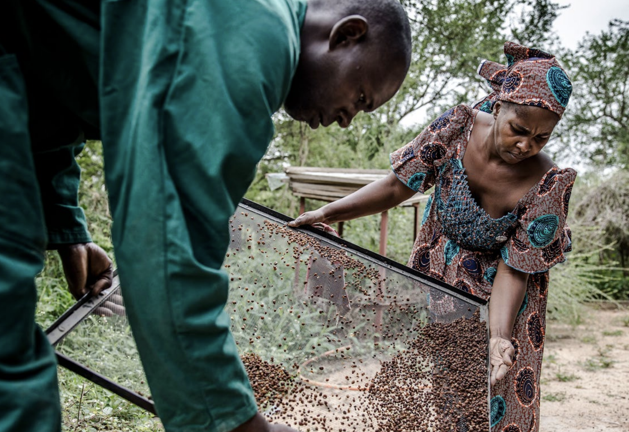
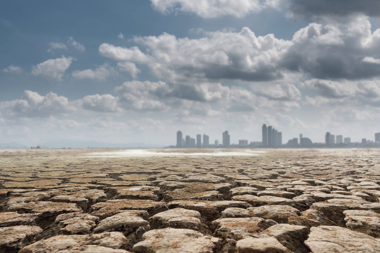
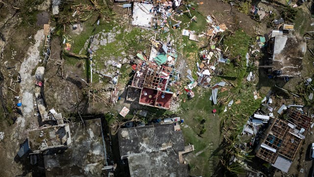
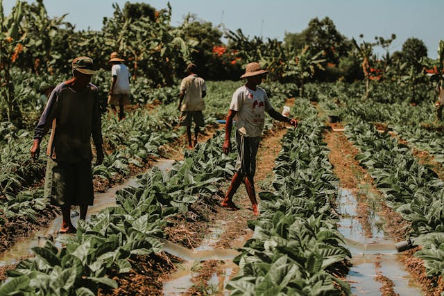
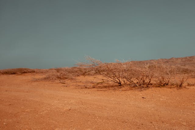
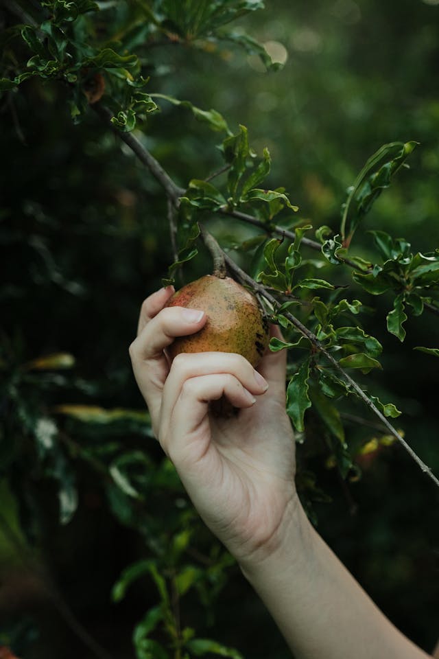
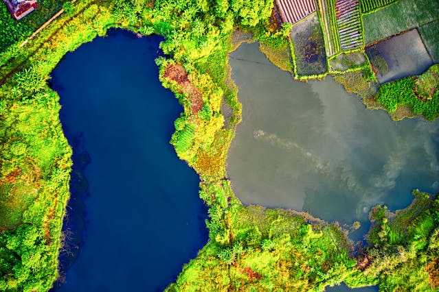
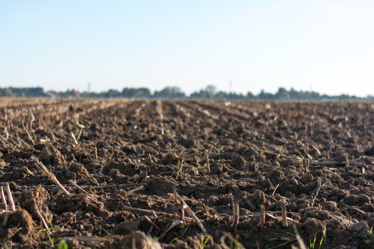
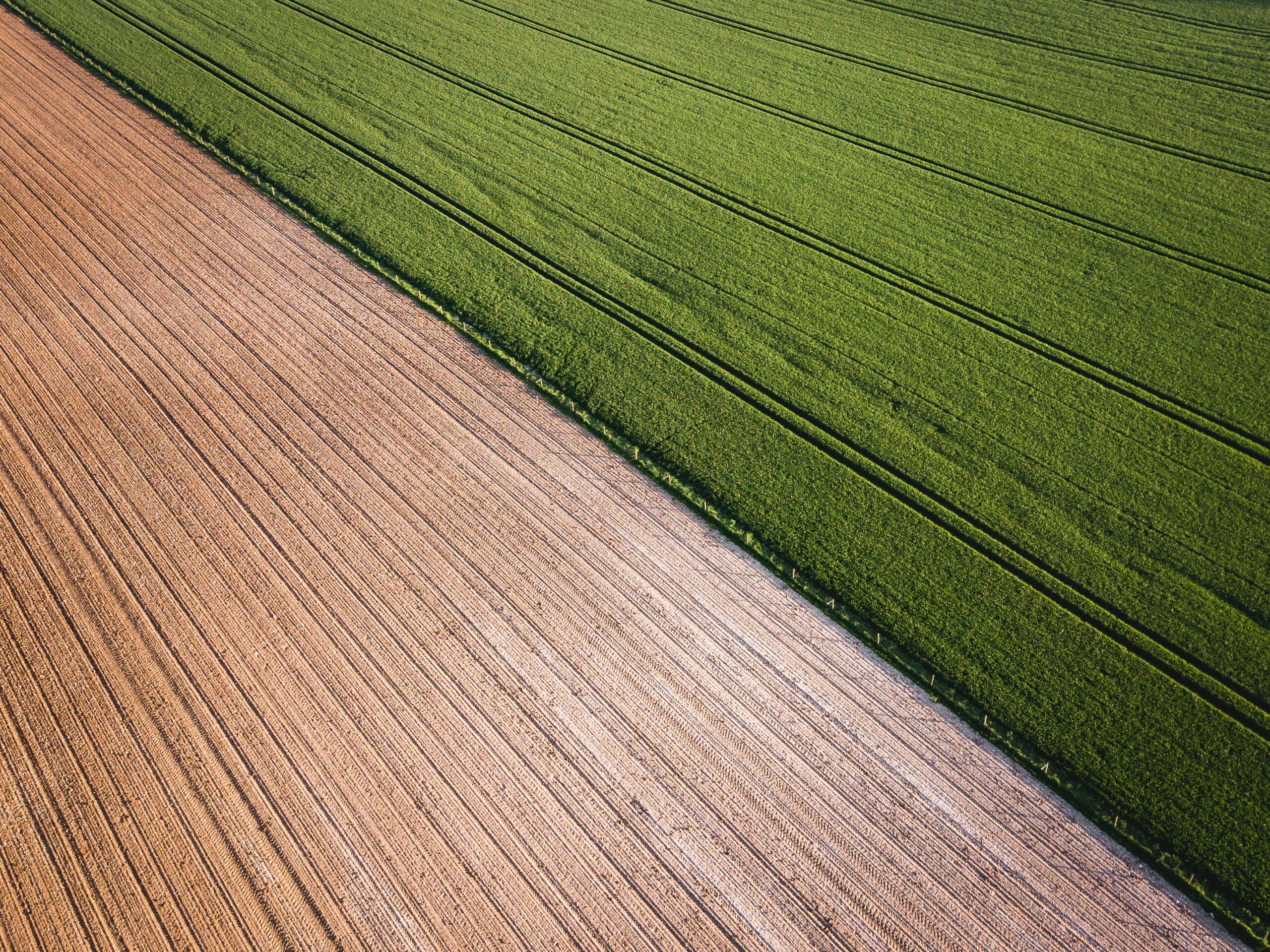
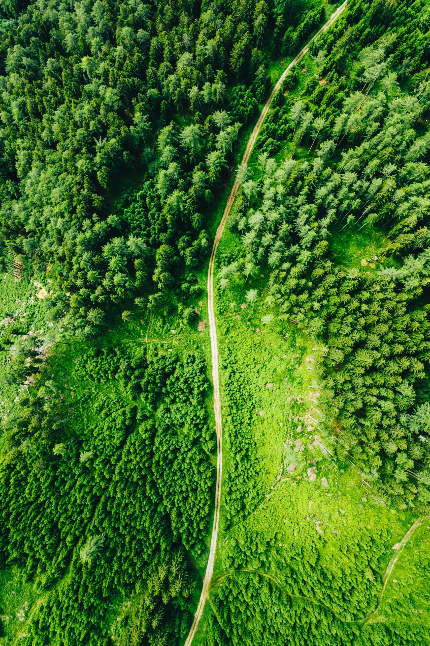
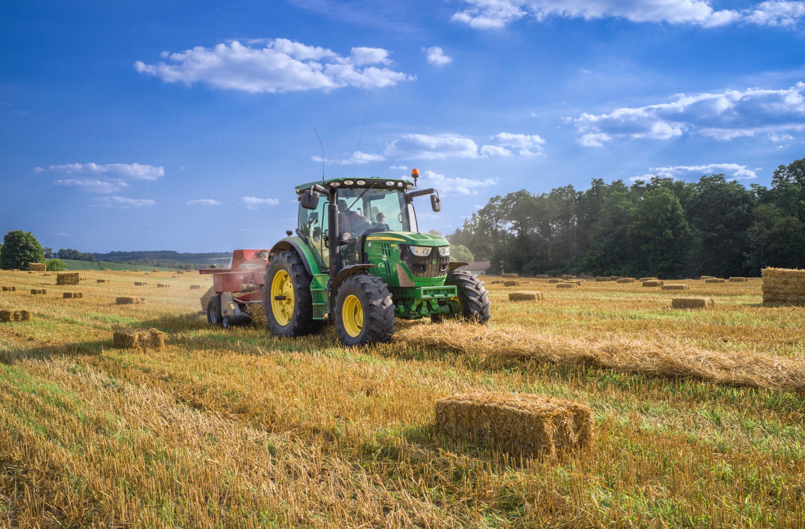
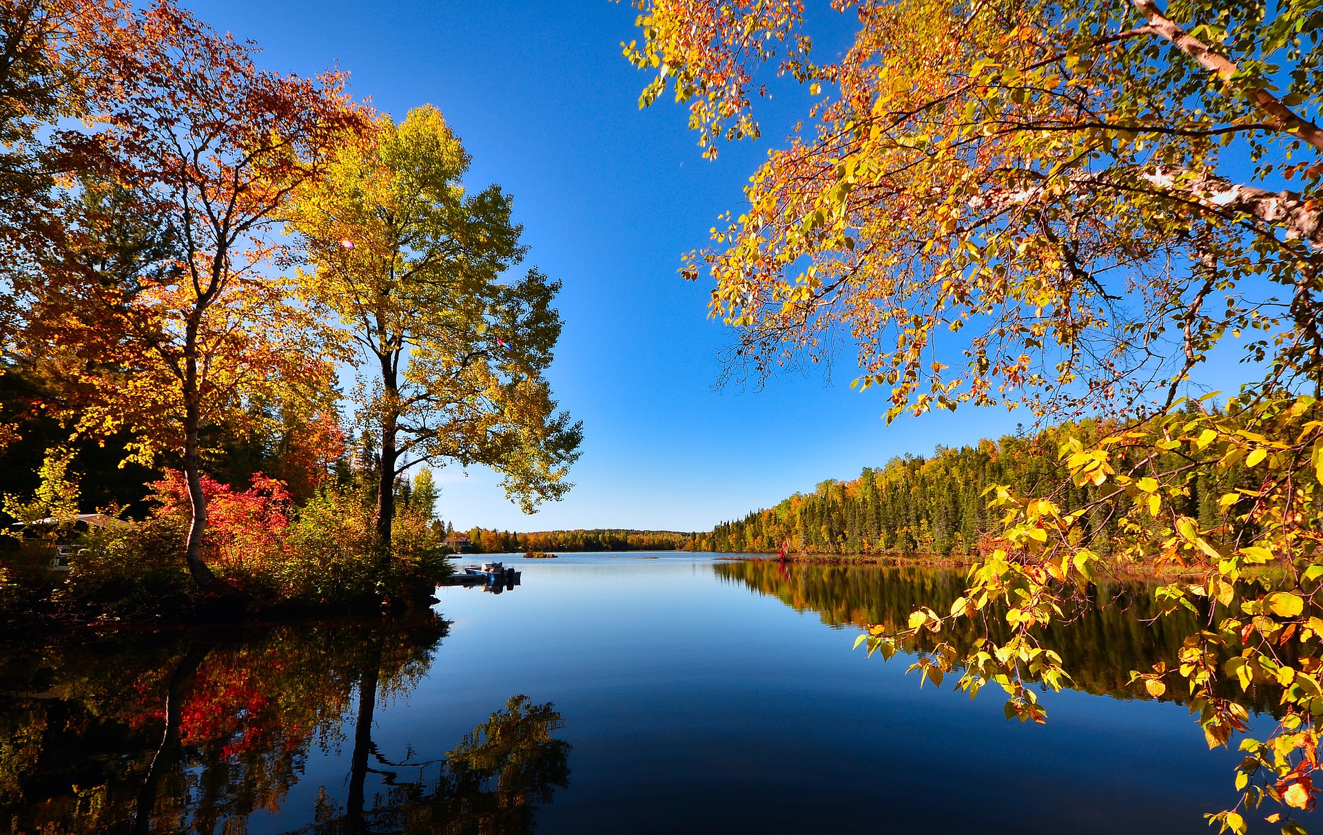
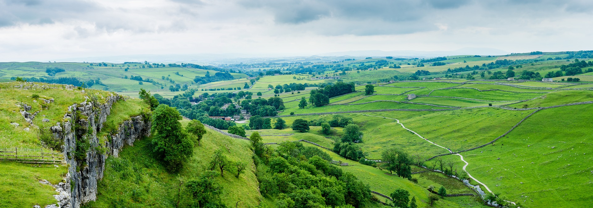
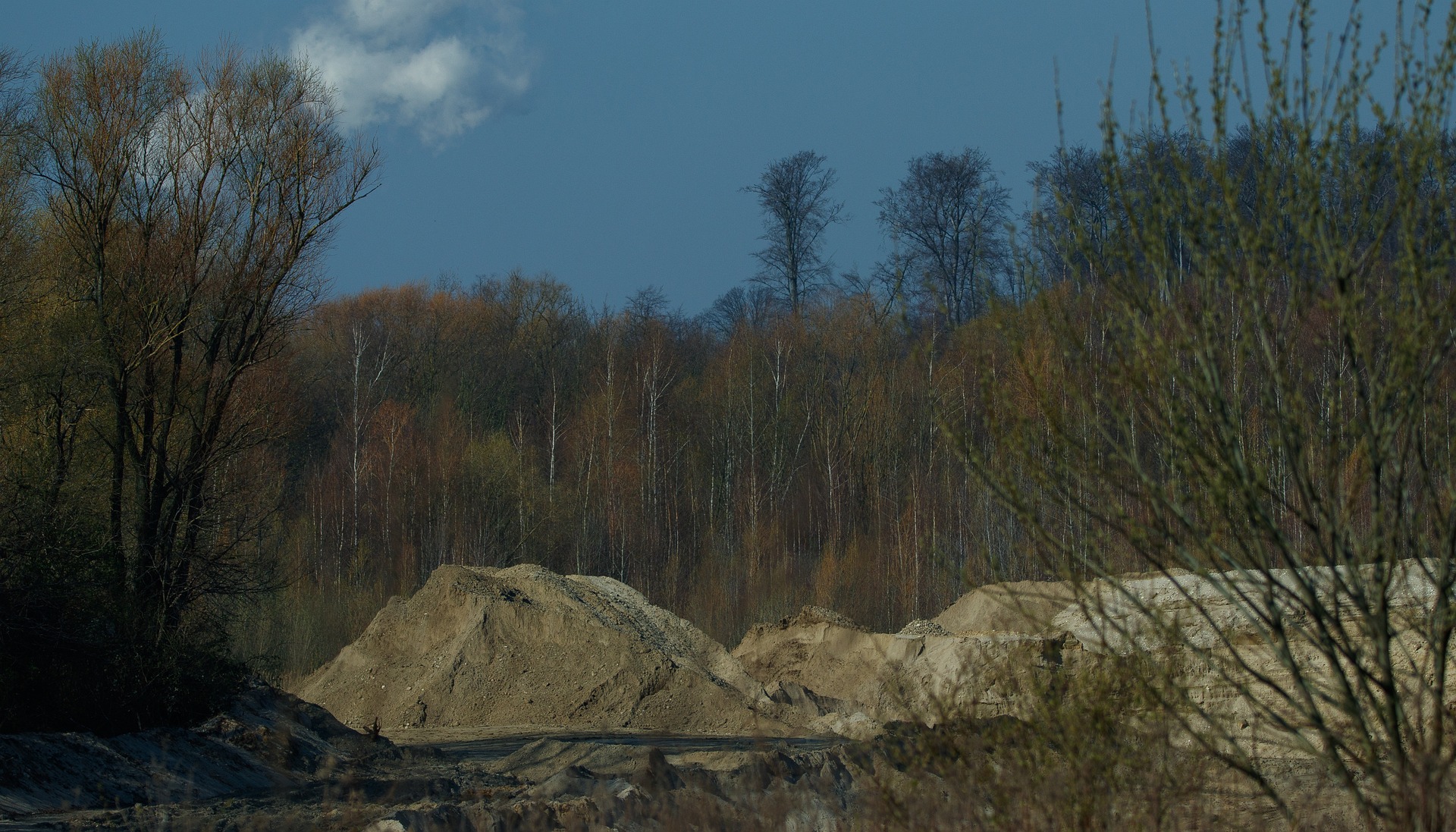
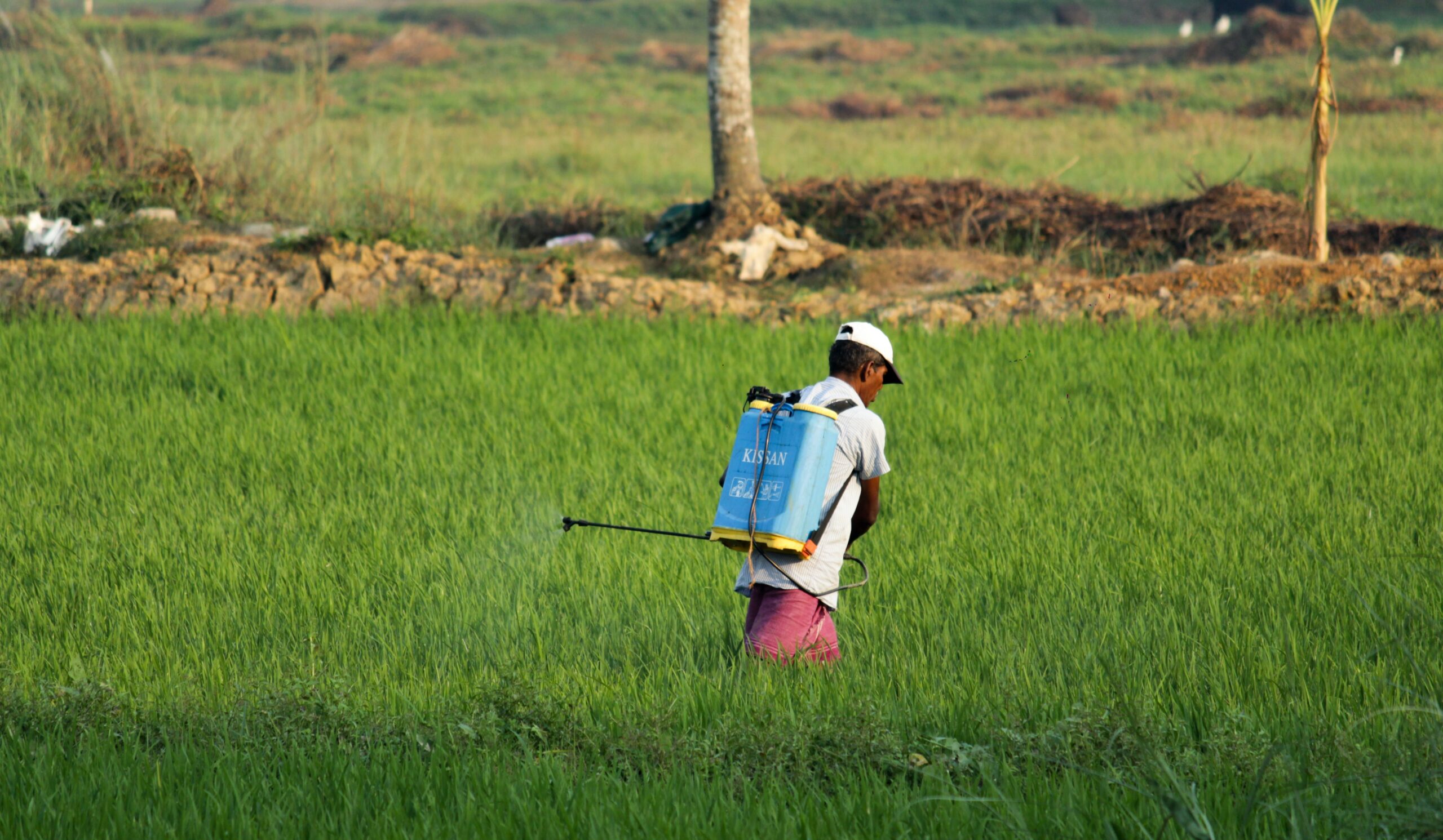
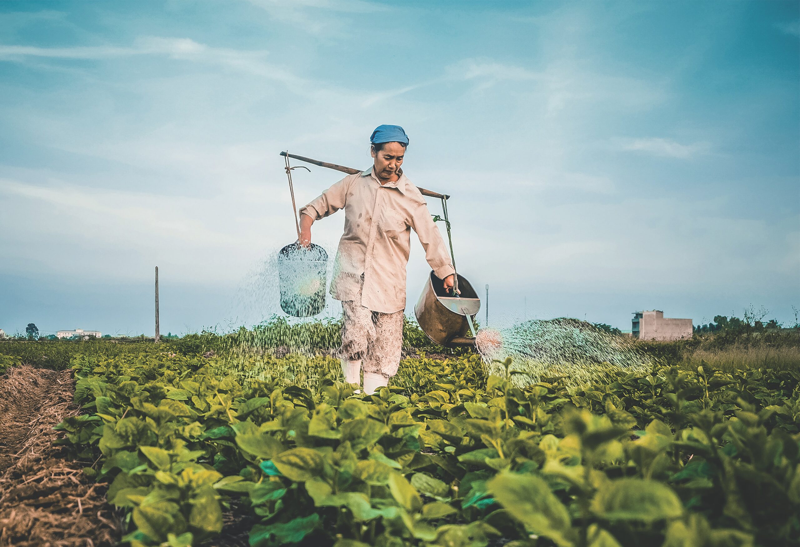
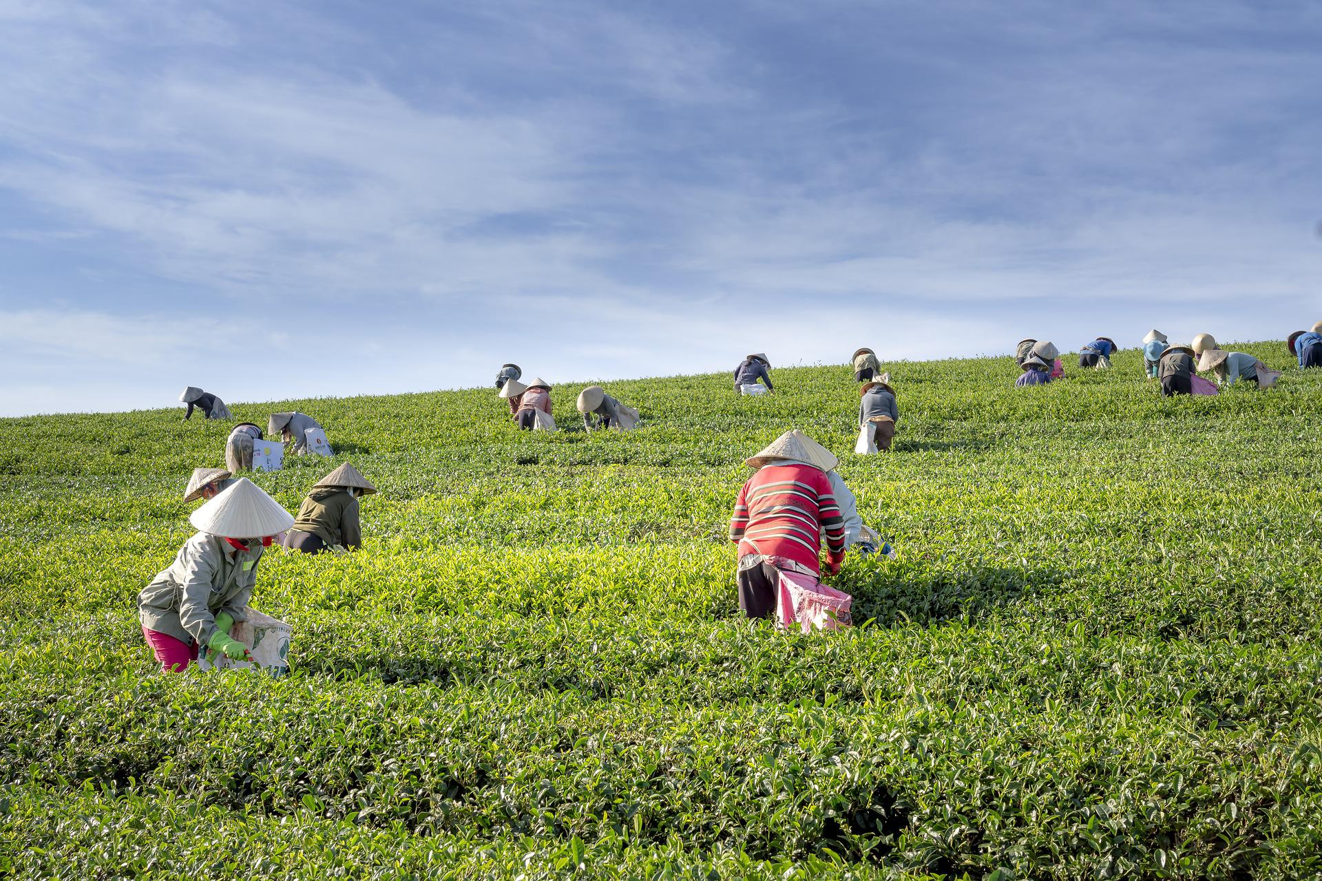
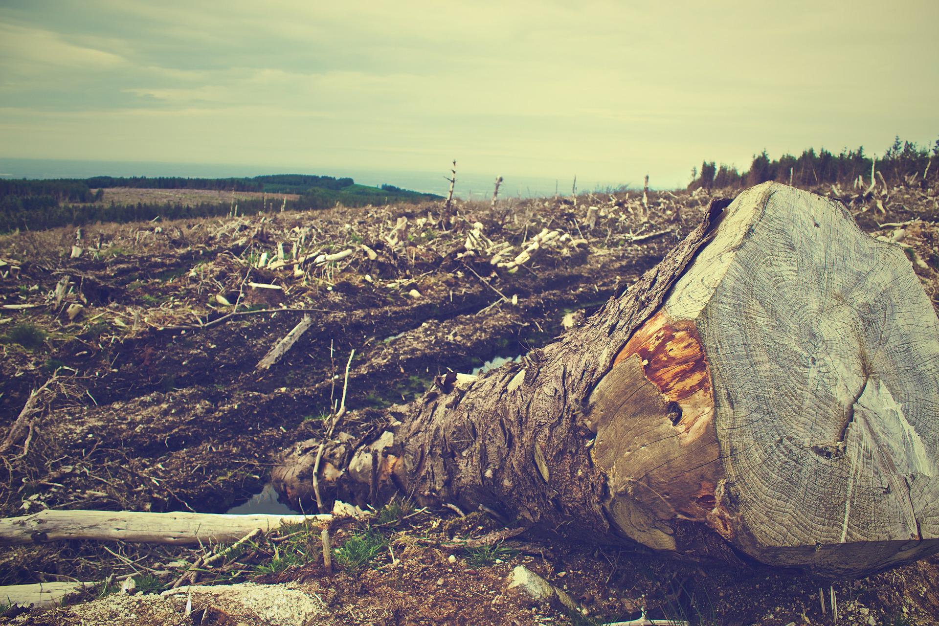
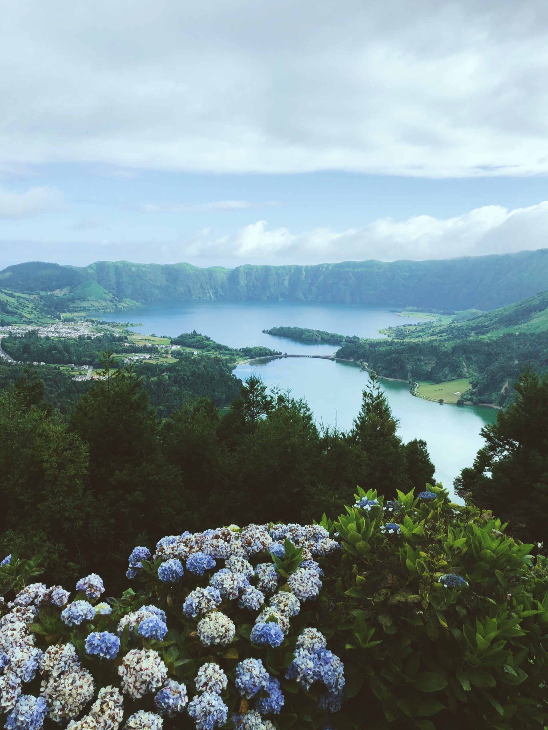
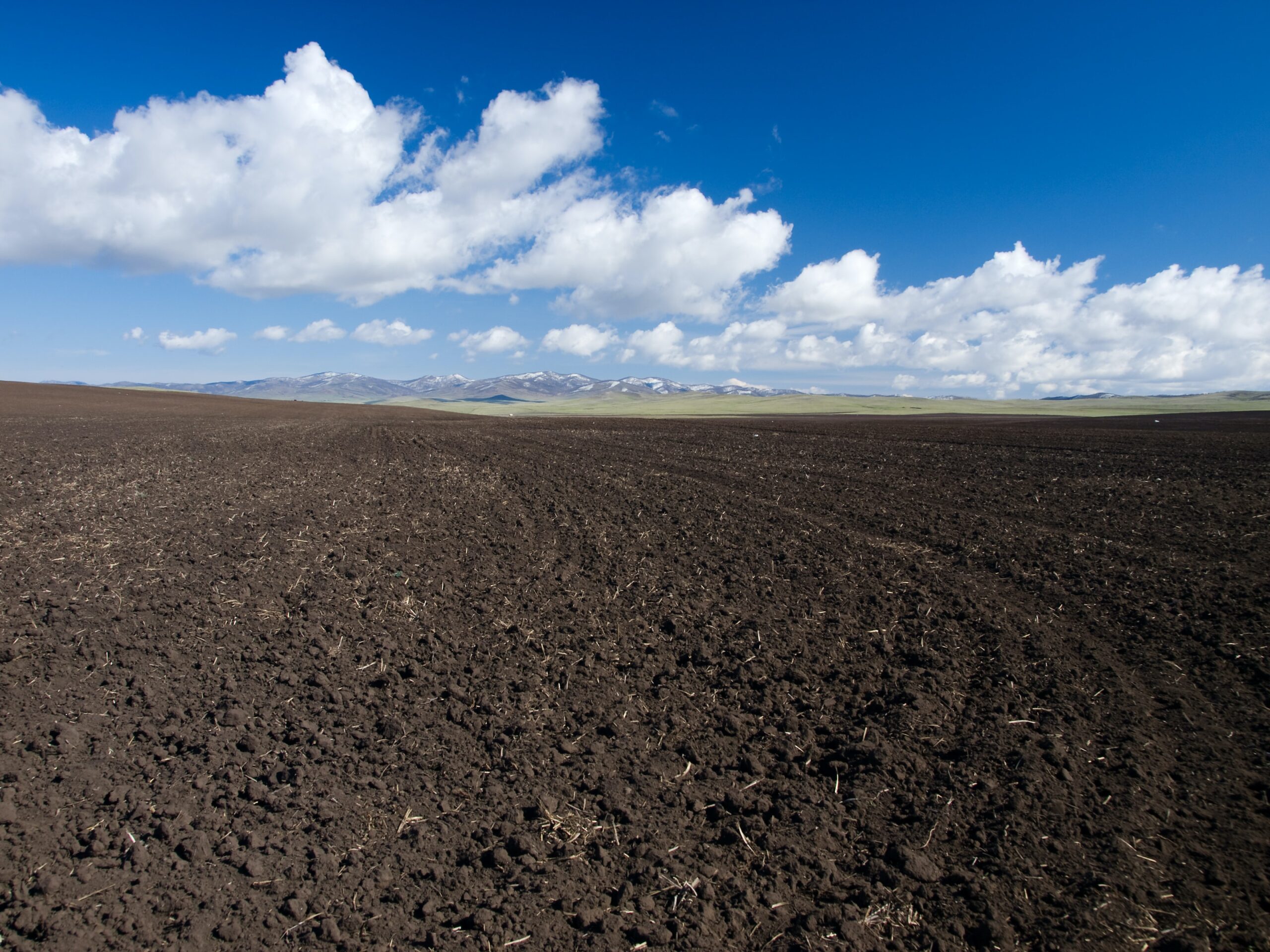
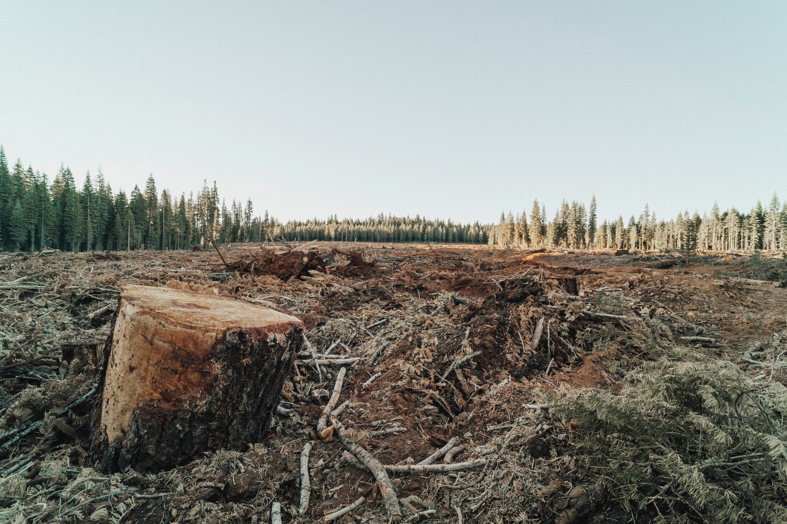
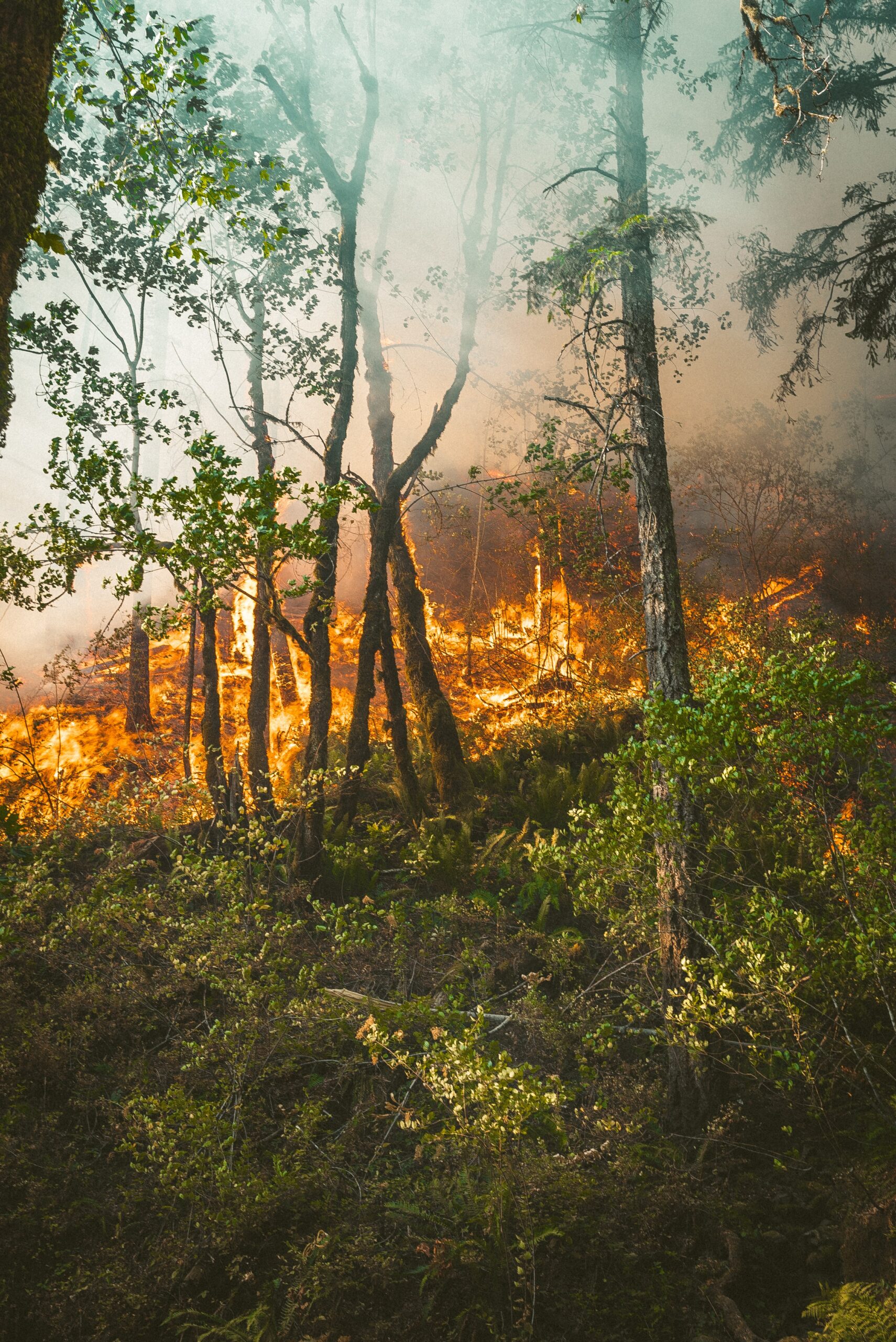
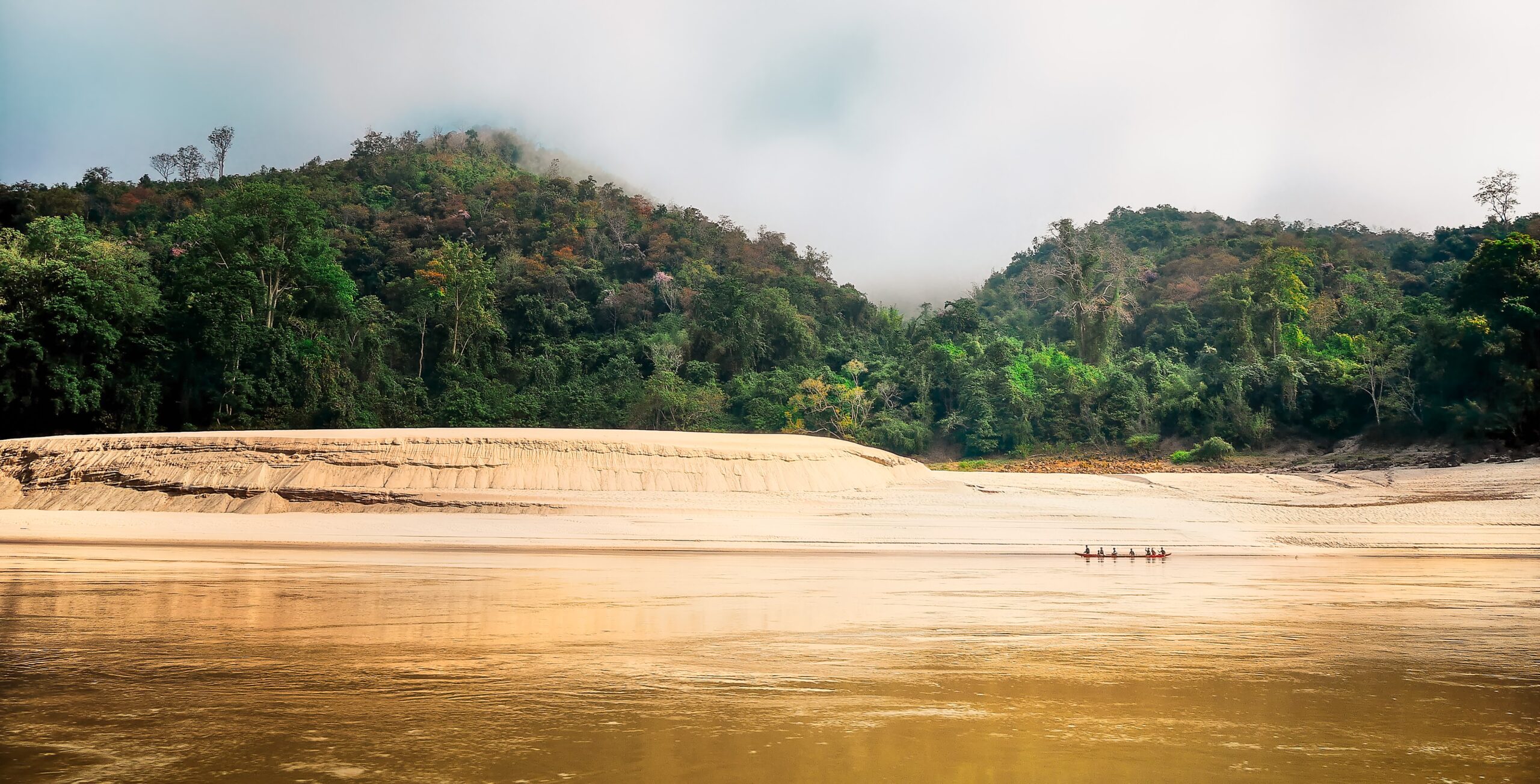
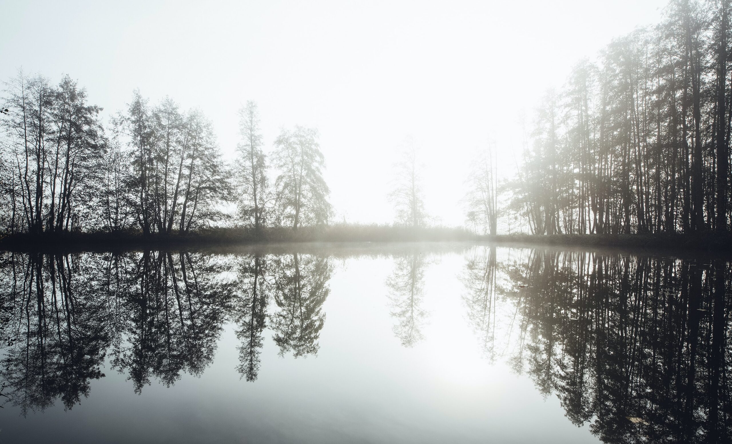
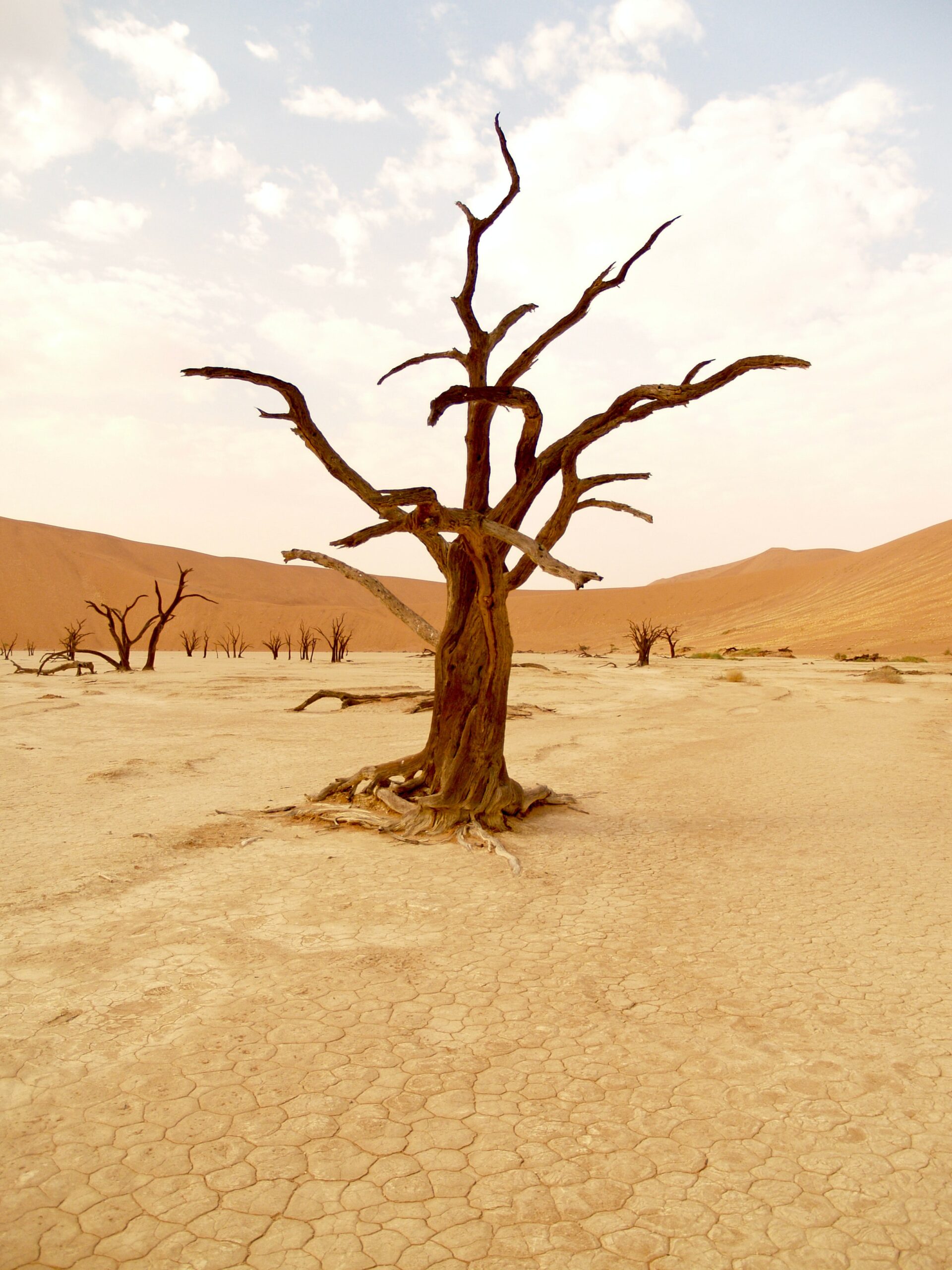
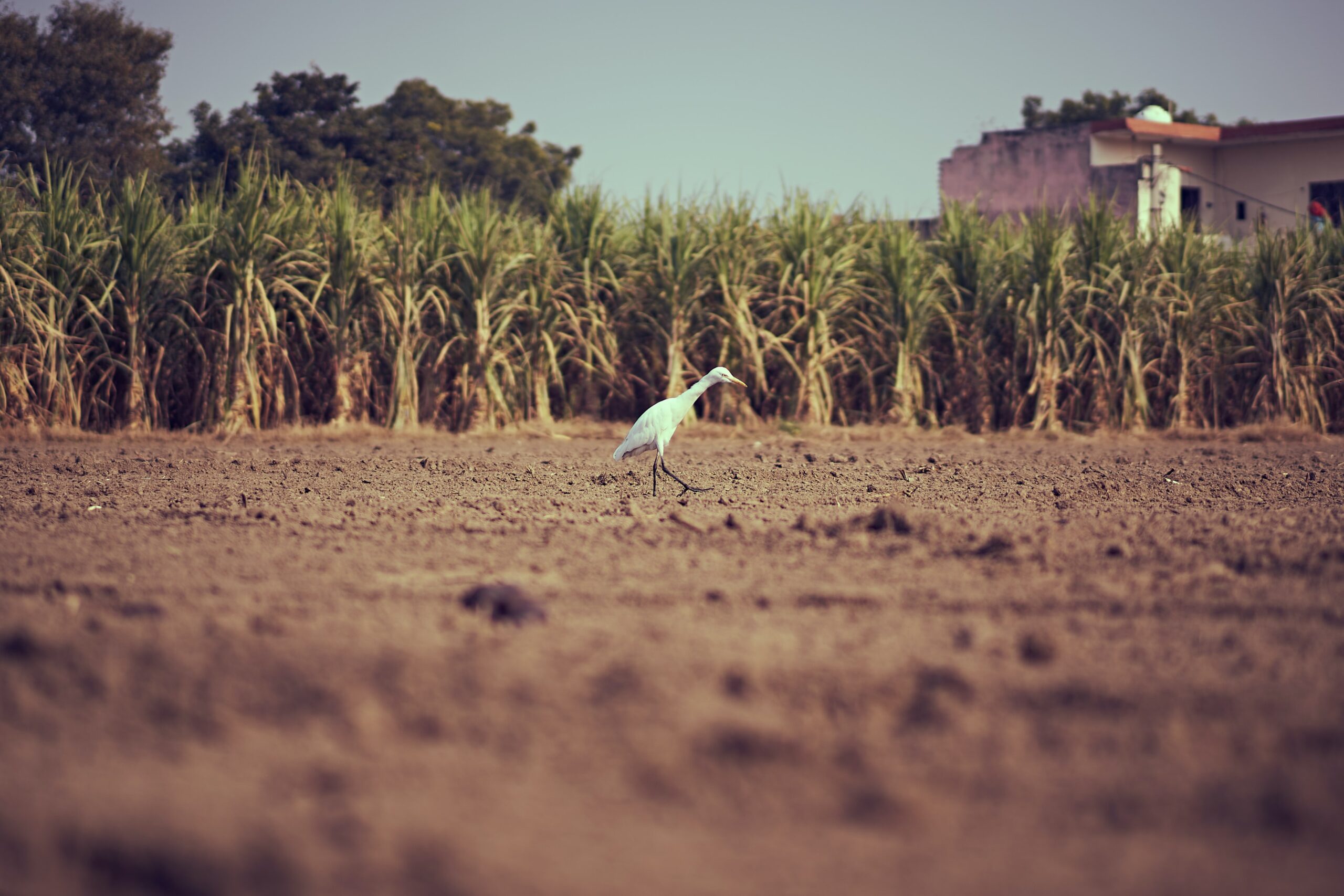
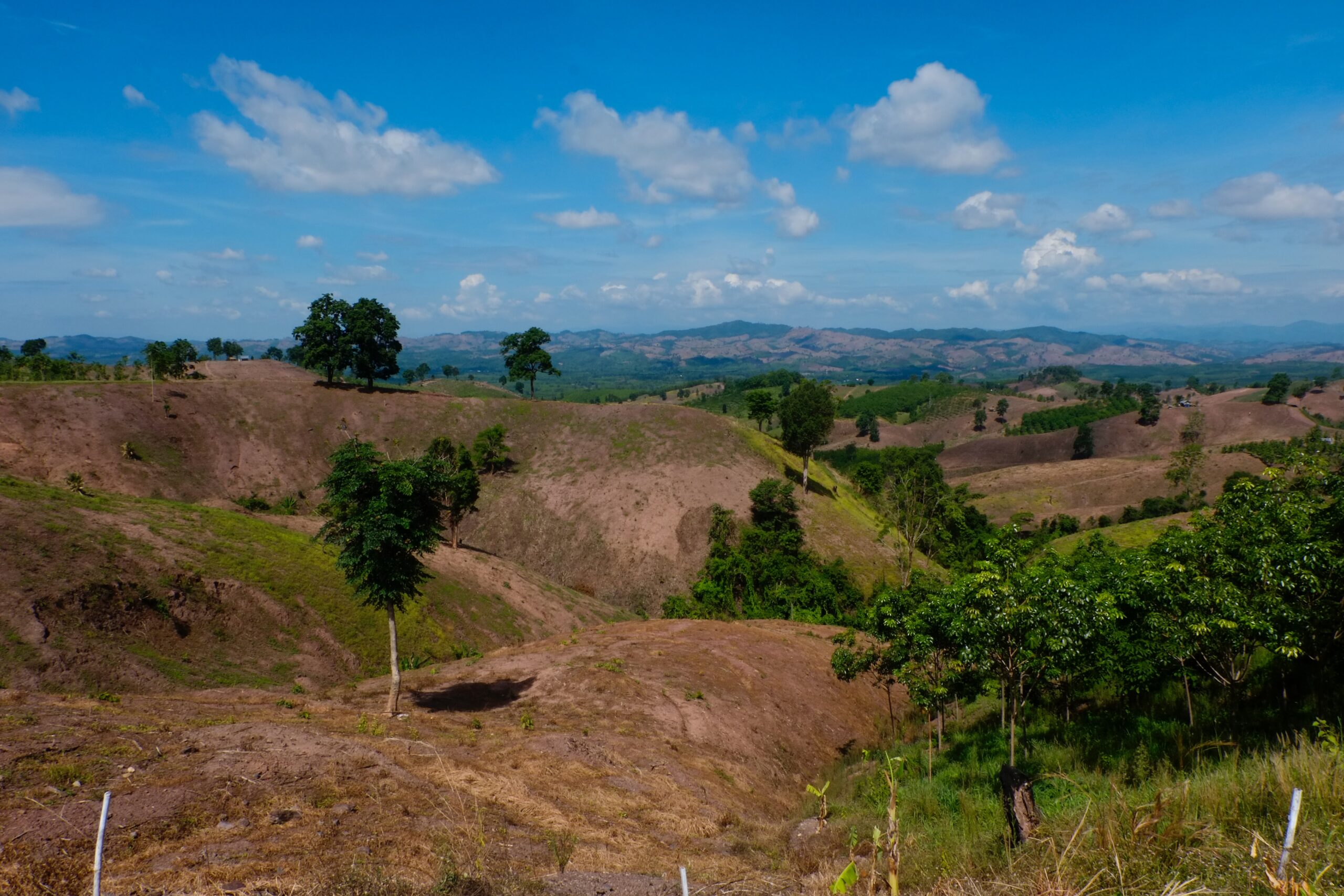
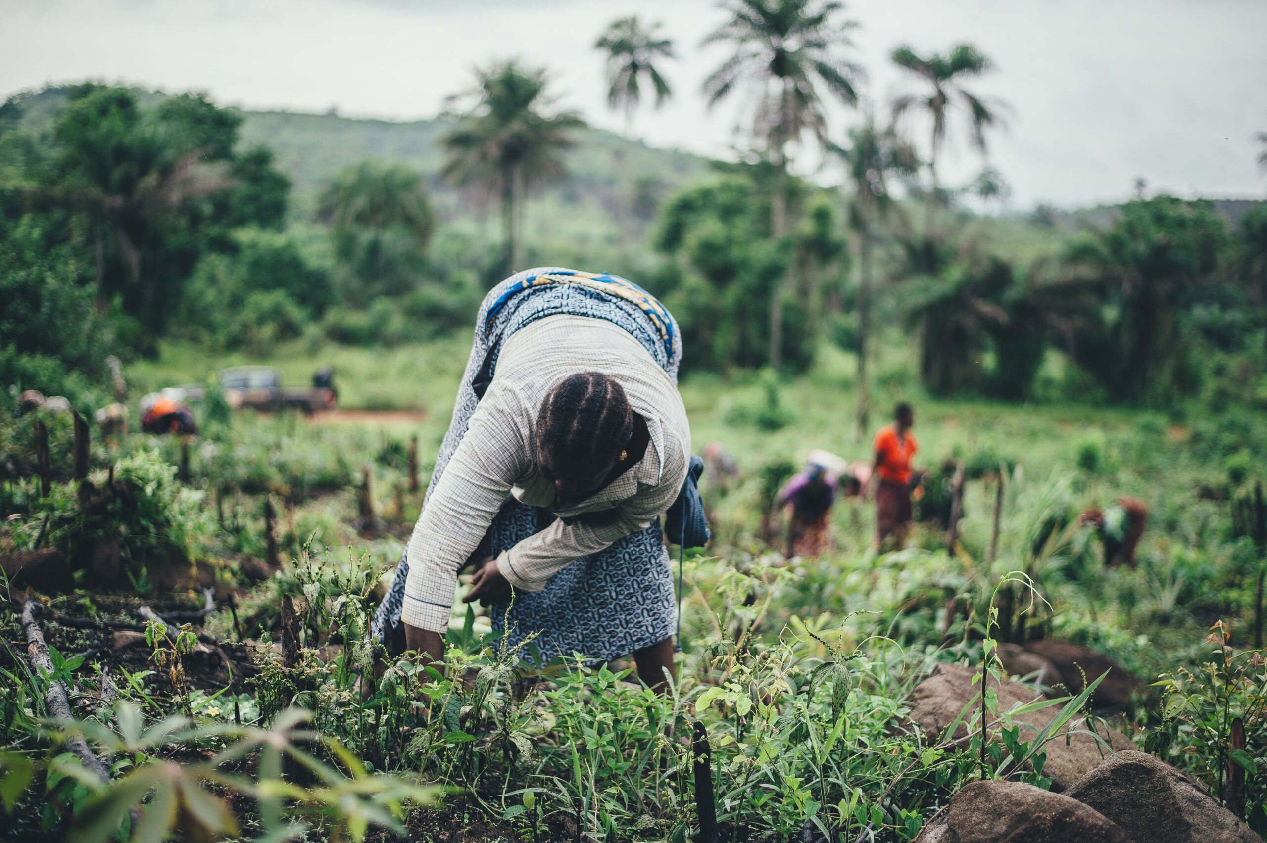
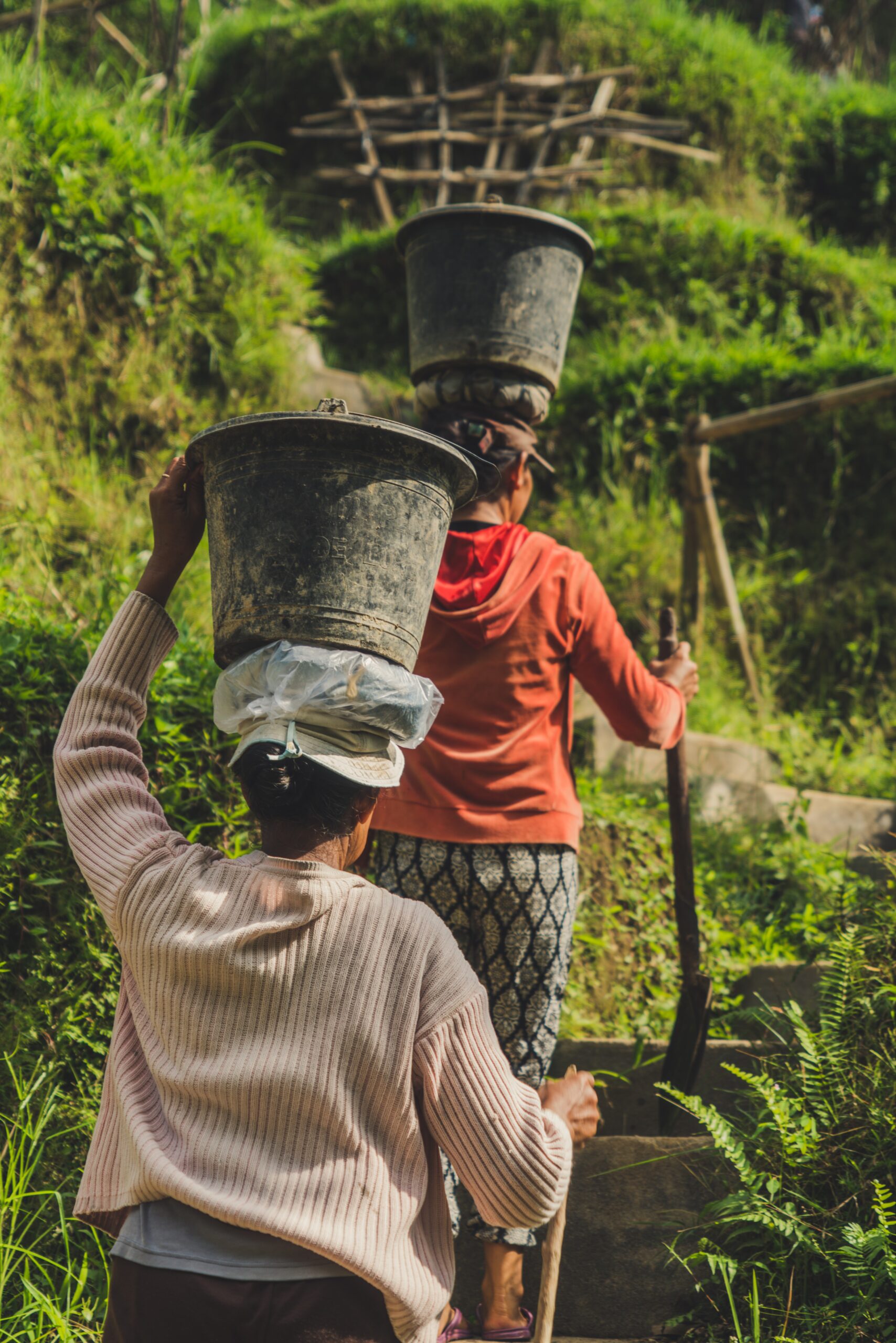
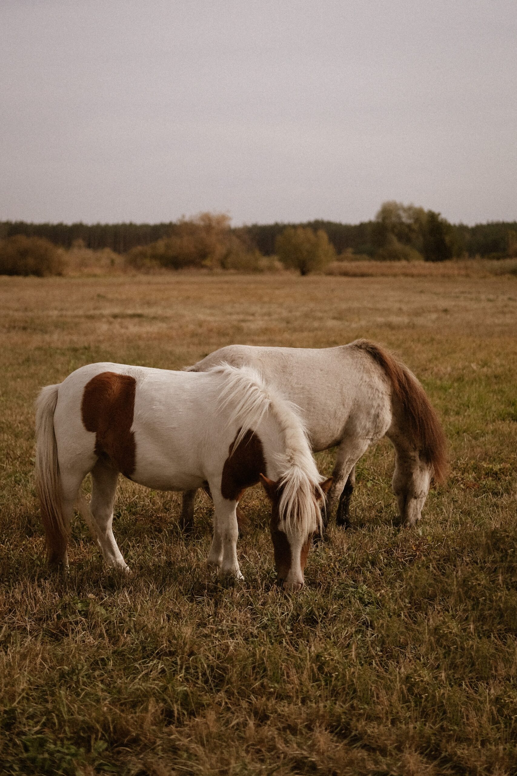
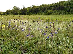
Land degradation is a global problem affecting negatively the livelihoods and food security of billions of people, especially farmers and pastoralists in developing countries. Eradicating extreme poverty without adequately addressing land degradation is highly unlikely. Given the importance and magnitude of the problem, there have been recurring efforts by the international community to identify the extent and severity of land degradation on a global scale. As discussed in this paper, many previous studies were challenged by the lack of appropriate data or shortcomings of their methodological approaches. In this paper, using global level remotely sensed vegetation index data, we identify the hotspots of land degradation in the world across major land cover types. In doing so, we use the long-term trend of the inter-annual vegetation index as an indicator of biomass production decline or improvement. Besides the elimination of technical factors, confounding the relationship between the indicator and the biomass production of the land, we apply a methodology that accounts for masking effects of both inter-annual rainfall variation and atmospheric fertilization. We also delineate the areas where chemical fertilization could be hiding the inherent land degradation processes.
Biomass productivity-based mapping of global land degradation hotspots
Year: 2014