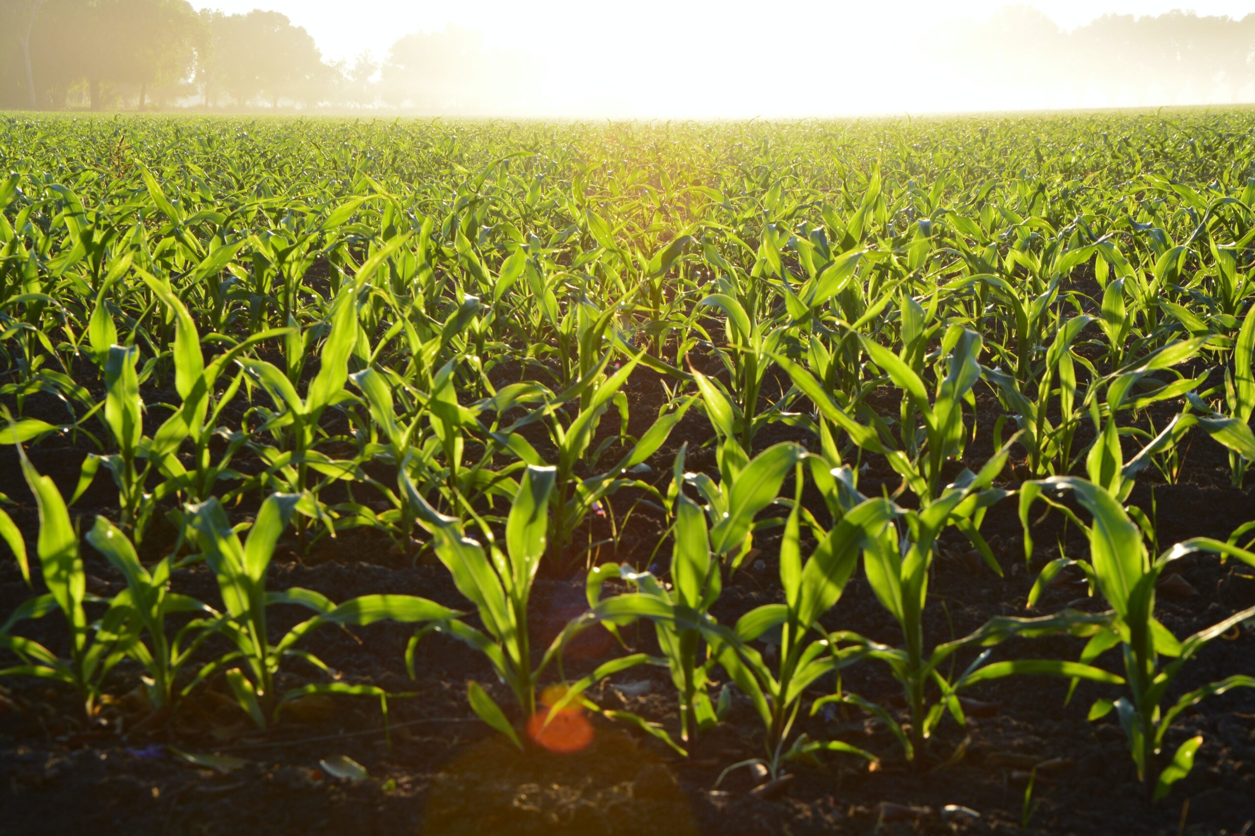
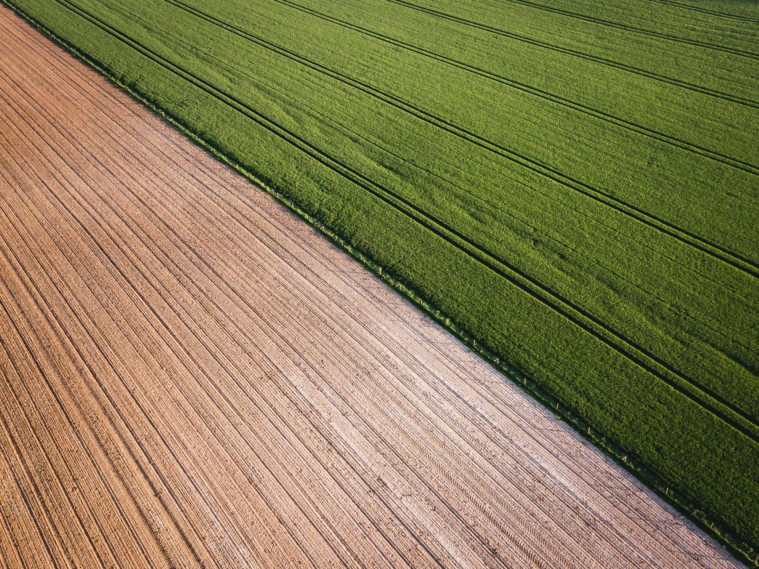
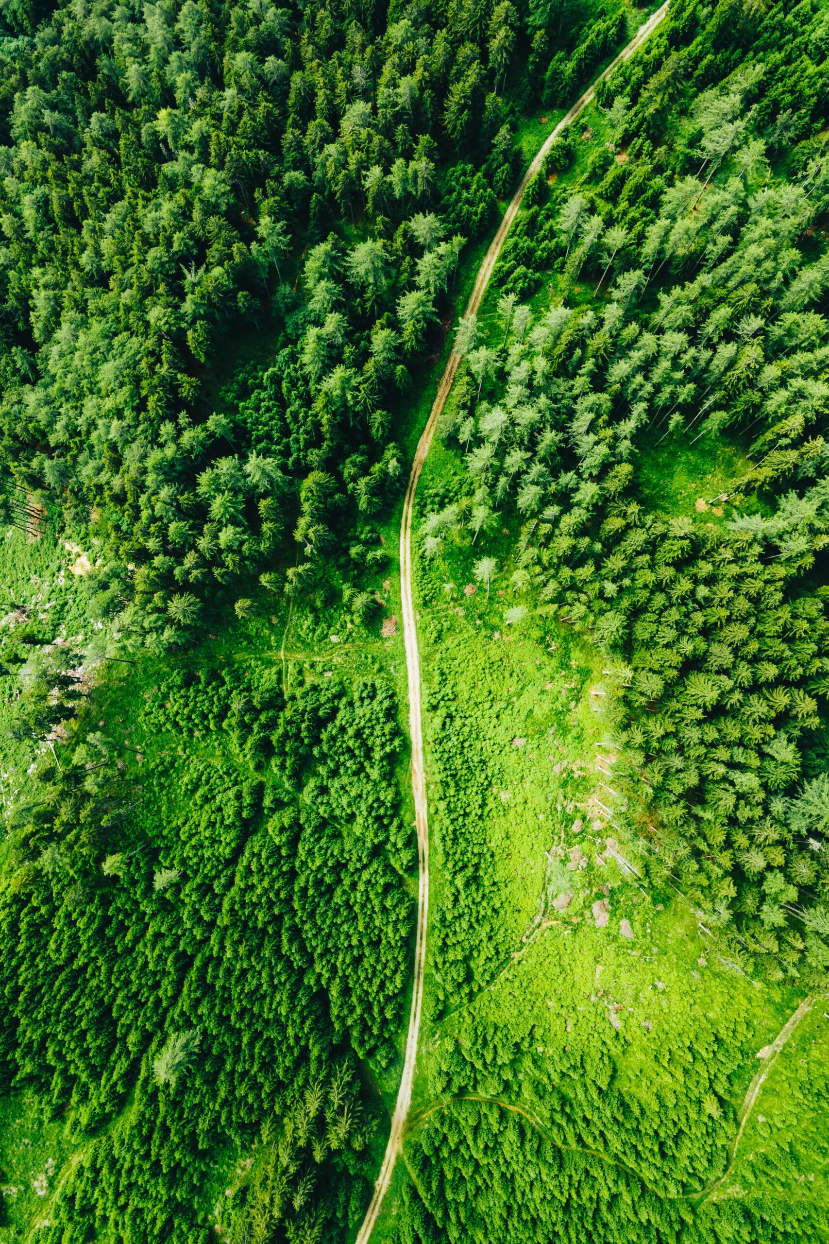
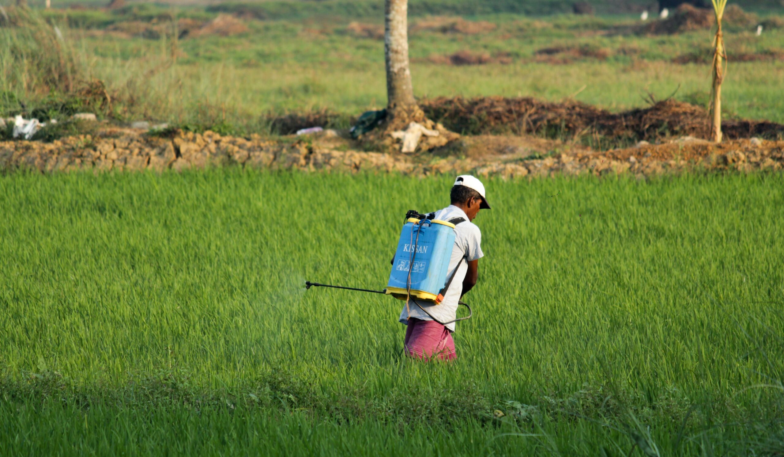
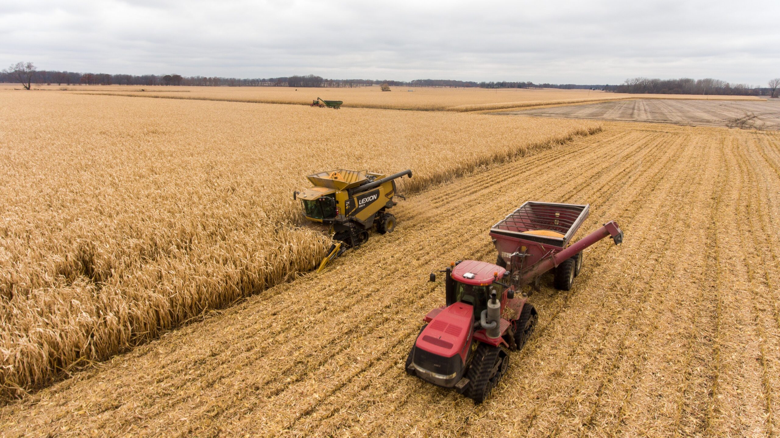
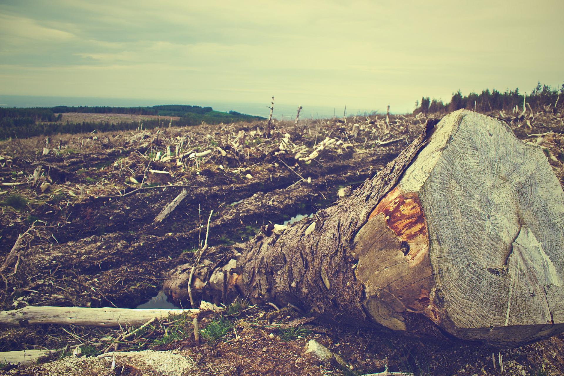
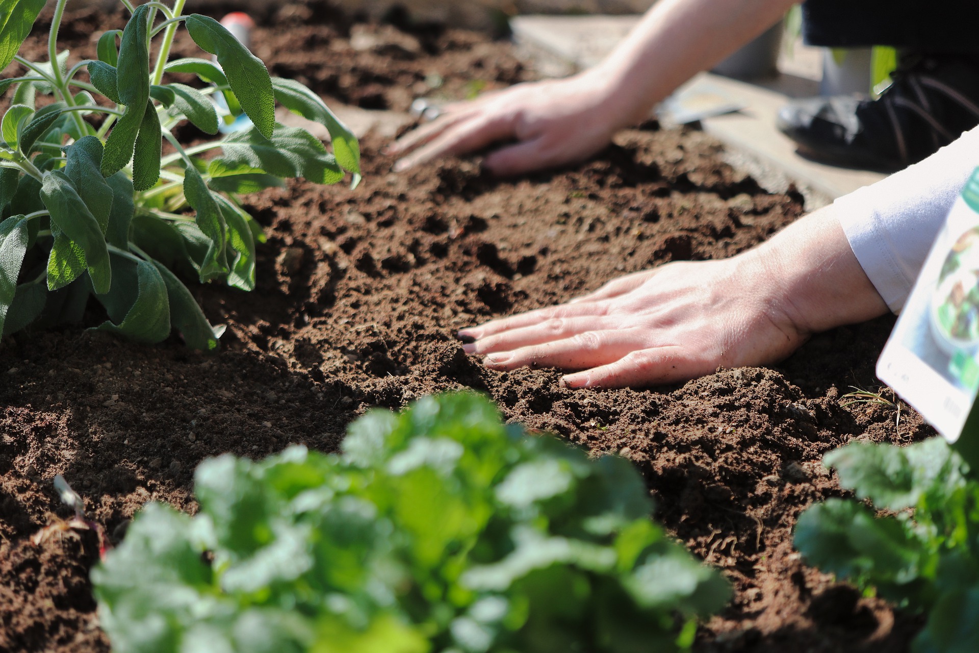
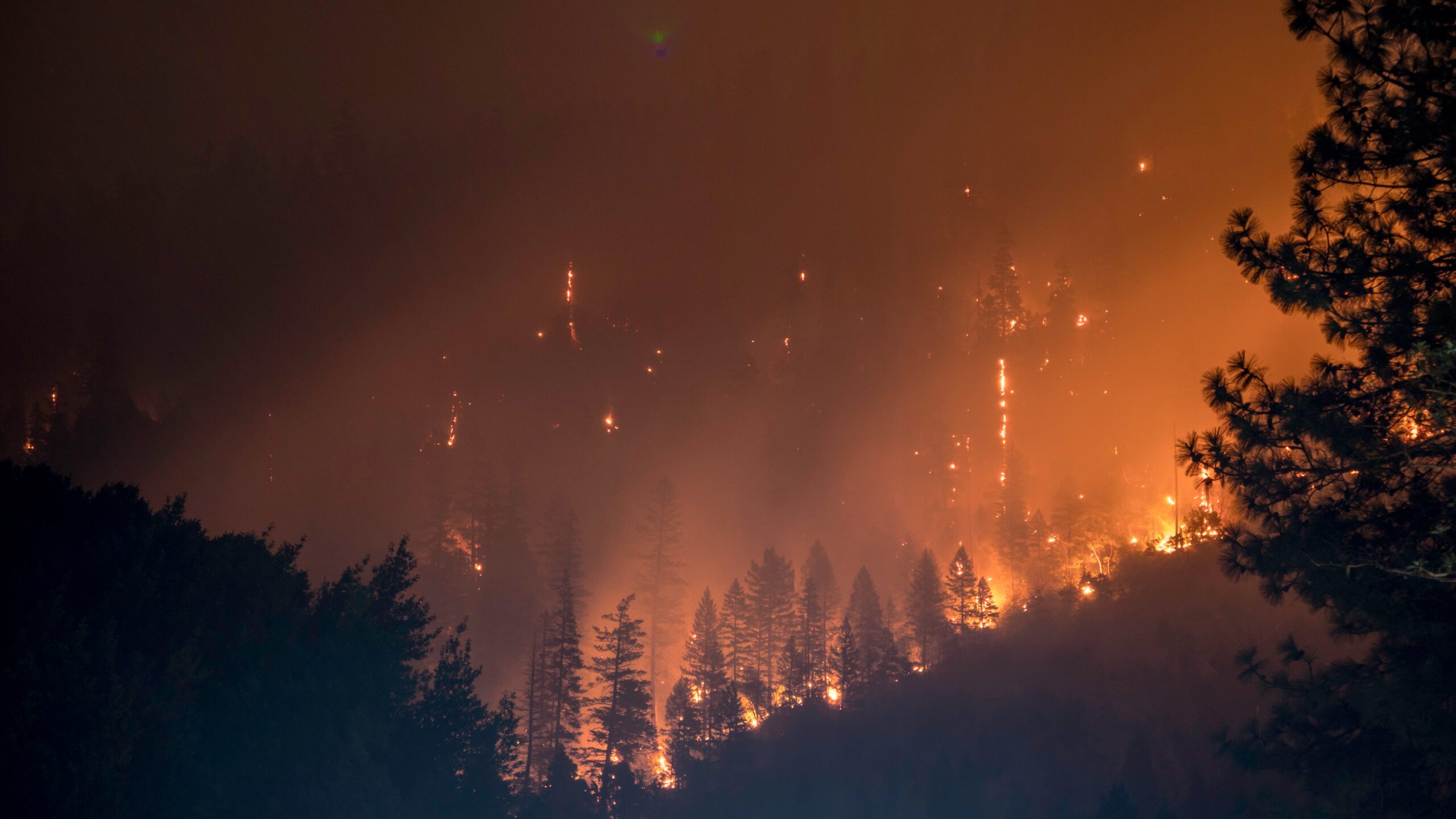
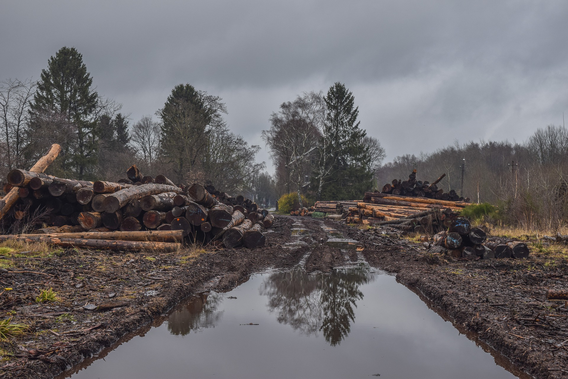
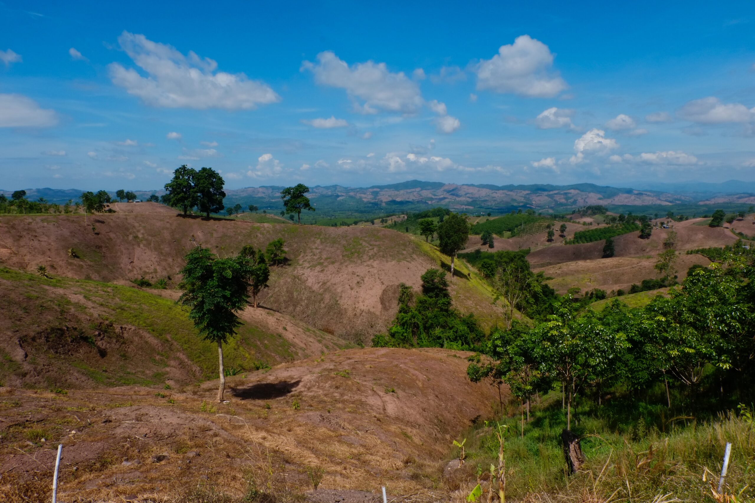
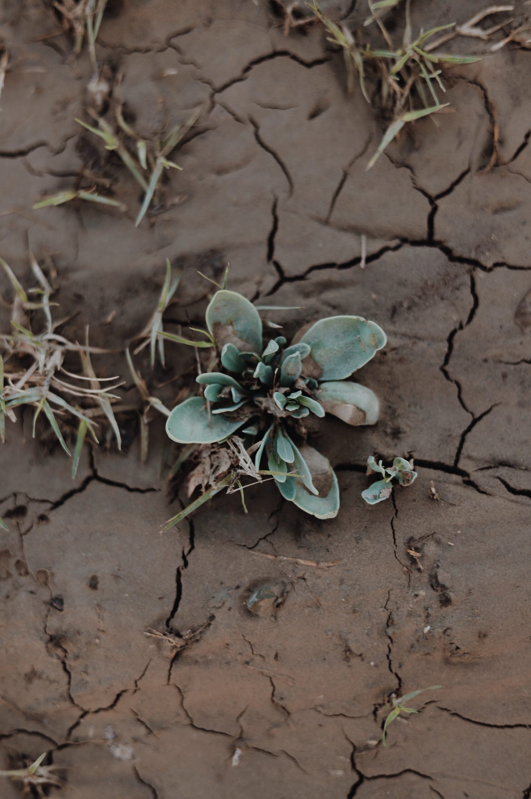
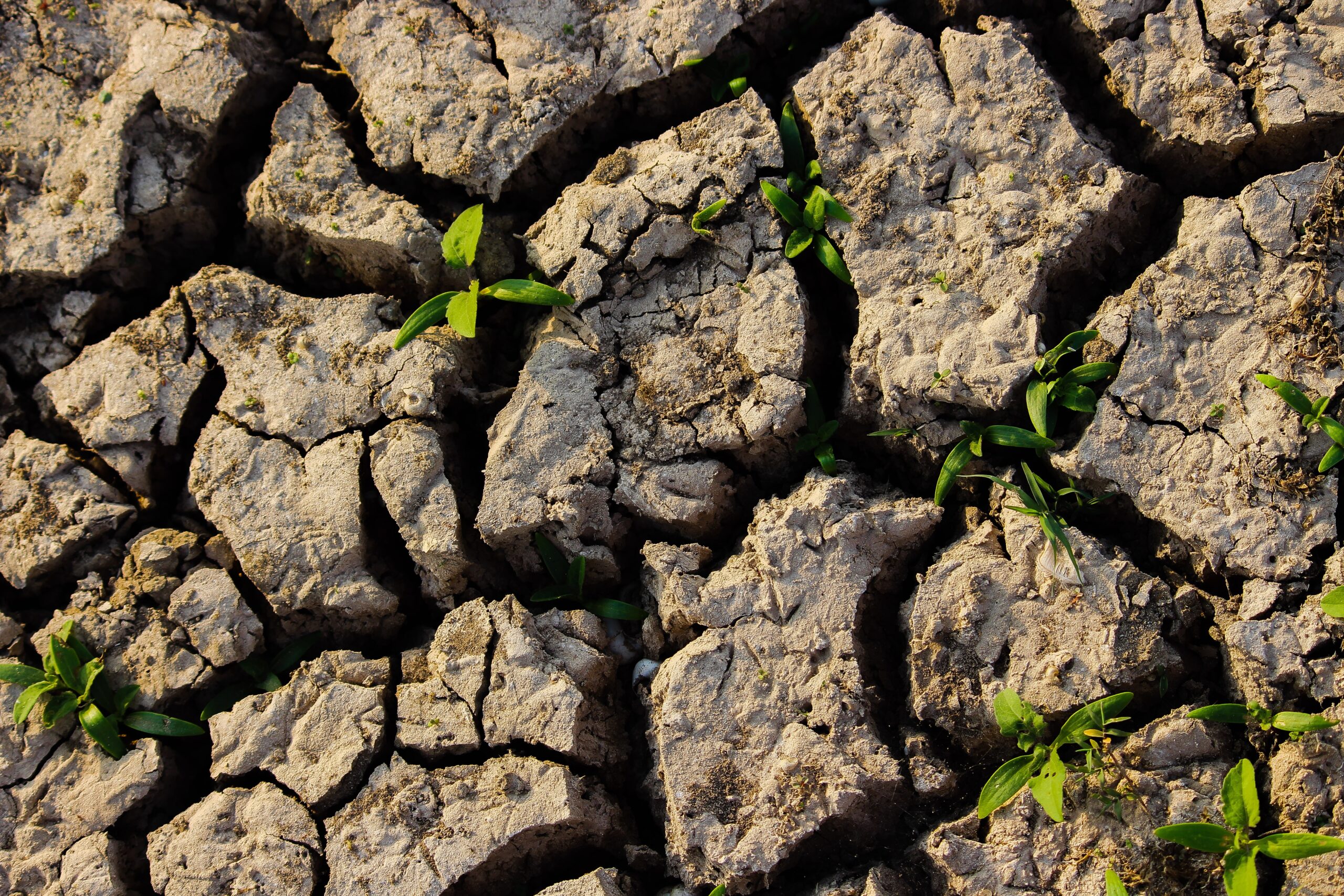
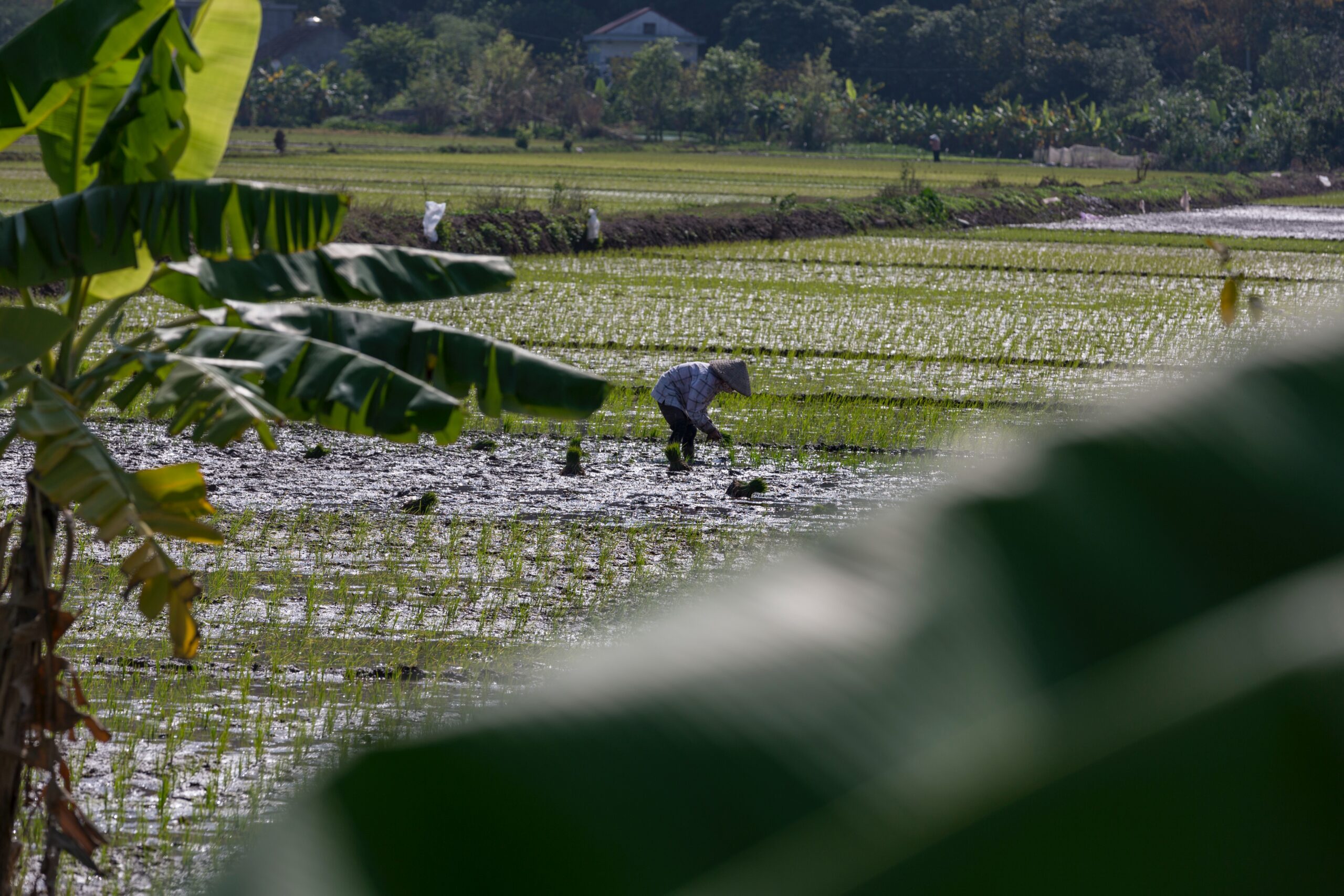
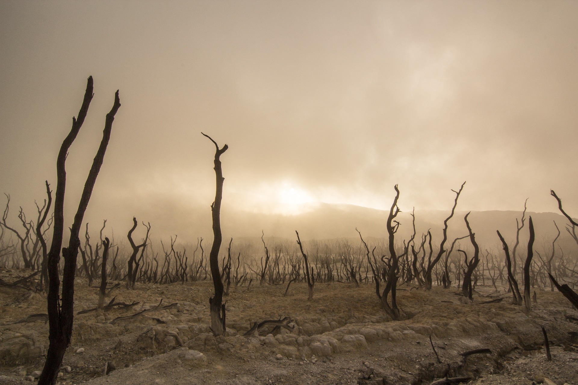
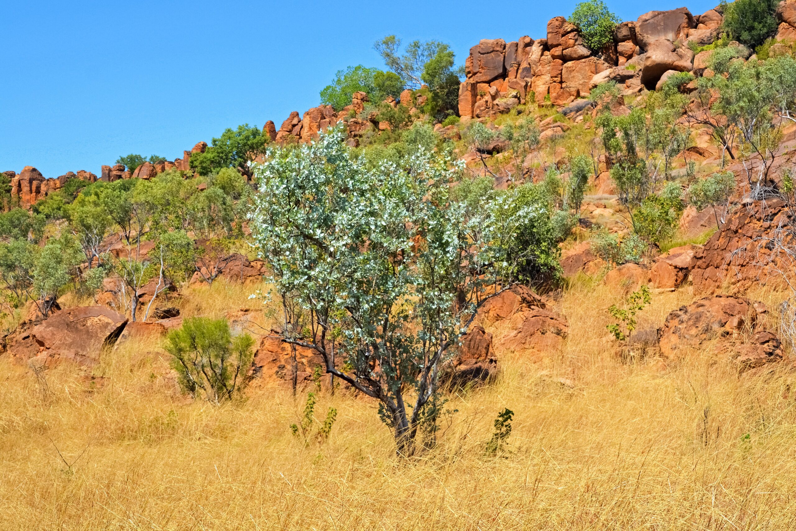
Land degradation (LD) is a complex process affected by both anthropogenic and natural driving variables, and its prevention has become an essential task globally. The aim of the present study was to develop a new quantitative LD mapping approach using machine learning techniques, benchmark models, and human-induced and socio-environmental variables. We employed four machine learning algorithms [Support Vector Machine (SVM), Multivariate Adaptive Regression Splines (MARS), Generalized Linear Model (GLM), and Dragonfly Algorithm (DA)] for LD risk mapping, based on topographic (n=7), human-induced (n=5), and geo-environmental (n=6) variables, and field measurements of degradation in the PoleDoab watershed, Iran. We assessed the performance of different algorithms using receiver operating characteristics, Kappa index, and Taylor diagram. The results revealed that the main topographic, geoenvironmental, and human-induced variable was a slope, geology, and land-use change, respectively. Assessments of model performance indicated that DA had the highest accuracy and efficiency, with the greatest learning and prediction power in LD risk mapping. In LD risk maps produced using SVM, GLM, MARS, and DA, 19.16%, 19.29%, 21.76%, and 22.40%, respectively, of the total area in the Pole-Doab watershed had a very high degradation risk. The results of this study demonstrate that in LD risk mapping for a region, topographic, and geological factors (static conditions) and human activities (dynamic conditions, e.g., residential and industrial area expansion) should be considered together, for the best protection at the watershed scale. These findings can help policymakers prioritize land and water conservation efforts.